Tuesday’s national forecast – Strong SE winds in the north (+8 maps)
7/06/2021 4:00pm
> From the WeatherWatch archives
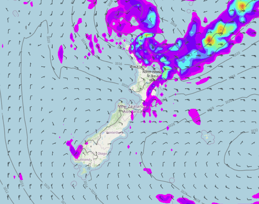
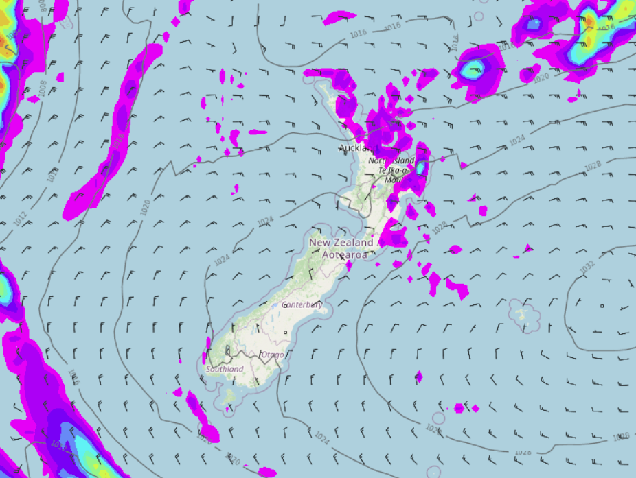
An east to southeasterly airflow lies over the North Island today meanwhile a ridge of high pressure keeps things settled further south.
Please refer to your local, hourly, 10 day forecast for more details.
North Island
Expect showers for the east coast (Wairarapa through to Gisborne) and also western Bay Of Plenty, Coromandel, perhaps parts of Auckland and Northland (especially in the east). Elsewhere is dry with high cloud and some sun at times. East to southeasterly winds for most, southeasterlies about East Cape, Coromandel and eastern Northland will be strong, gales are likely about Great Barrier Island.
South Island
Mostly sunny but there will be areas of low cloud or fog about for some spots this morning, cloud may hang about some eastern coastal parts for much of the day. Also expect some high cloud about the upper South Island. A frosty start for some inland areas too.


Latest Video

Snow, rain showers & cold polar southerlies set to return
Friday will be a wintry day across NZ as the next cold front arrives, bringing snow to lower levels of…
Related Articles
Snow, rain showers & cold polar southerlies set to return
Friday will be a wintry day across NZ as the next cold front arrives, bringing snow to lower levels of…

Frosts, late week rain & another cold weekend coming
High pressure will cross NZ over the next few days meaning more cold nights/mornings with frosts, but a nor’wester will…

NZ: Cold & windy, then calm & frosty
Downpours, some squally with the chance of thunderstorms and even small tornadoes are possible for parts of NZ over Friday…

