Tuesday’s national forecast – More thunderstorms & downpours in the north (+8 Maps)
9/11/2020 3:00pm

> From the WeatherWatch archives
Low pressure remains stalled over the North Island and while it’s a fairly weak low it’s combining with that colder southerly flow over the South Island.
The mix of warm and cool air masses continues over the North Island encourage big afternoon downpours inland with isolated thunderstorms, again possibly severe.
Meanwhile the South Island is again smothered by a fair bit of high pressure, especially in the southern half. Further north and rain brushes Marlborough with showers and drizzly spells around Nelson and North Canterbury.
The South Island also has the most extreme difference with temperatures compared to normal as eastern areas deal with the colder, cloudier, airflow and western areas push up over 8 degrees above normal.
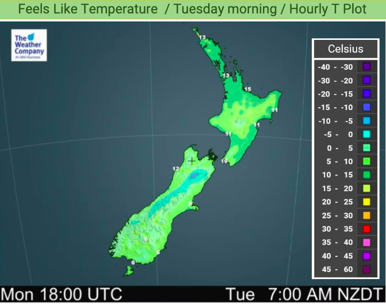
Refer to your local HOURLY forecasts to make more sense of what this all means for you locally. To drill down even deeper, head over to www.RuralWeather.co.nz for more.
Here are the regional forecasts for Tuesday
Northland, Auckland, Waikato & Bay Of Plenty:
Areas of rain and showers. Some long dry spells. Risk of an isolated thunderstorm inland. Variable winds due to low pressure nearby.
Highs: 14 – 20
Western North Island (including Central North Island):
Areas of rain and showers. Dry spells in the mix too. SE winds cool in exposed areas.
Highs: 13 – 17
Eastern North Island
Patchy areas of rain with some heavy falls – also some dry spells possible. Risk of an isolated thunderstorm in northern Hawke’s Bay or Gisborne later in the day. Variable winds with low pressure over the area.
Highs: 14 – 18
Wellington
Another wet, cool, day with south to south east winds.
High: 11 or 12
Marlborough & Nelson
Showers with south east winds. Wetter, windier and cooler in Marlborough, especially the eastern coastal side. SE winds.
Highs: 13 – 18
Canterbury
Cloudy at times, especially in North Canterbury. Cool east to south east winds. Might be a few showers or drizzle patches, mainly in the north.
Highs: 12 – 14
West Coast
Mostly sunny with SE winds.
Highs: 16 – 19
Southland & Otago
Mostly Sunny, especially inland where it will be warmer. Coastal Otago has a cool day with cloudy periods. Light winds
Highs: 12-20
THE MAPS


Latest Video

Cold weekend, frosts return with high pressure, then a low late next week
The subantarctic airflow spreads over NZ today/tonight and into Saturday, dropping temperatures nationwide. Snow flurries are possible today to lower…
Related Articles
Cold weekend, frosts return with high pressure, then a low late next week
The subantarctic airflow spreads over NZ today/tonight and into Saturday, dropping temperatures nationwide. Snow flurries are possible today to lower…

Wintry burst of weather: Snow, squally showers then sunshine & frosts
A polar change (another one!) arrives on Friday for the South Island and goes nationwide on Saturday, leaving NZ under…

Antarctic southerly for parts of NZ Fri & Sat
For the first time this year a southerly from off Antarctica is heading towards the South Island, followed by more…

