Tuesday’s national forecast – Cold front moves in over the South Island
14/03/2022 11:01am

> From the WeatherWatch archives
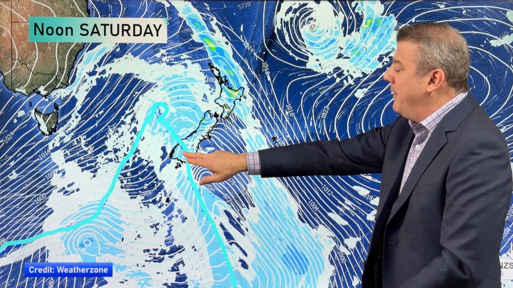
A cold front / southerly airflow pushes northwards over the South Island today, the North Island already has a southerly airflow with showers in the east and drier warmer weather out west.
Northland, Auckland, Waikato & Bay Of Plenty
Mainly sunny with a few clouds here and there, light winds tend onshore in the afternoon then southeasterly at night.
Highs: 25-27
Western North Island (including Central North Island)
Mostly sunny, there may be some cloud at times. Southeasterly winds.
Highs: 20-23
Eastern North Island
Mostly cloudy with occasional showers, Wairarapa may be a bit drier with showers developing there overnight. Breezy southerlies.
Highs: 18-20
Wellington
Cloudy areas with southeasterly winds freshening from afternoon, overnight showers.
Highs: 17-19
Marlborough & Nelson
Mostly sunny, some cloud at times with southerly winds, freshening from afternoon. Afternoon northerlies for Nelson. A few overnight showers possible for southern Marlborough.
Highs: 19-21
Canterbury
Mostly sunny at first, a few showers develop around midday south of Banks Peninsula then further north late afternoon as cloud thickens with southerly winds.
Highs: 17-19
West Coast
Mostly sunny, chance of an evening isolated shower for South Westland. Light winds, generally coming in from the south or southeast however winds may tend onshore in the afternoon along the coastal fringe.
Highs: 20-25
Southland & Otago
Showers, mostly clearing in the afternoon but one or two may cling on till evening for Southland, showers not clearing Otago till overnight. Cool southeasterlies.
Highs: 13-16
Comments
Before you add a new comment, take note this story was published on 14 Mar 2022.


Add new comment