Tuesday’s national forecast – High brings settled weather (+ 10 maps)
5/04/2021 4:00pm
> From the WeatherWatch archives
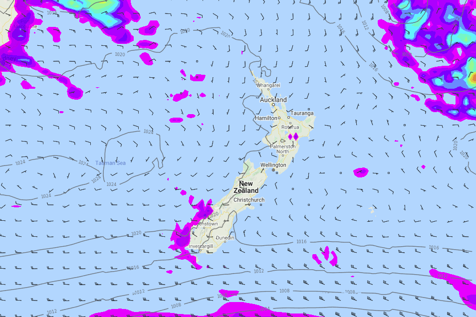
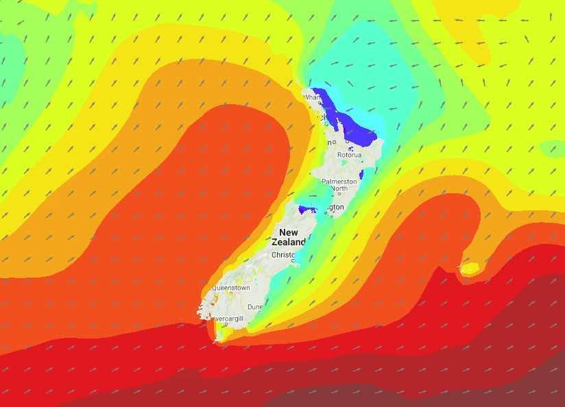
A large anticyclone brings mainly settled weather to New Zealand today.
North Island
Morning cloud breaks for the upper North Island then mostly sunny, some cloud may hang about Northland during the day however. Winds tend to the southwest. Morning cloud for the lower western North Island breaks to mostly sunny weather, there could be a shower first thing this morning. Wellington sees cloud and the risk of a drizzle patch then sunny areas developing this afternoon. Any early cloud in the east breaks then sunny, light winds tend easterly this afternoon.
South Island
Morning cloud in the east with a risk of drizzle then becoming mostly sunny this afternoon. Nelson has a mostly sunny day. The West Coast has morning cloud with the risk of a shower then sunny areas increase, south of about the Glaciers cloud could be a bit more stubborn today with showers likely on and off for Fiordland. Sunny for Central Otago, Southland has a mix of sun and cloud.
Please refer to your local, hourly, 10 day forecast for more details.


Latest Video

More eastern rain, but a drier long weekend coming
Rain continues today along the eastern South Island and lower North Island, coming in from the east with heavy falls….
Related Articles
More eastern rain, but a drier long weekend coming
Rain continues today along the eastern South Island and lower North Island, coming in from the east with heavy falls….

More heavy rain, snow – but large dry areas, especially as we go into the long weekend
Heavy rain will continue for parts of Canterbury and Marlborough over the next day or two and it will gradually…

Large low brings rain, downpours & some snow – gets colder as the week progresses
Low pressure will cross the upper North Island in the days ahead and that set-up actually pushes more heavy rain…

