Tuesday’s national forecast – Cold front moves onto the South Island (+3 maps)
8/02/2021 3:00pm

> From the WeatherWatch archives
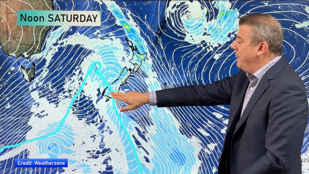
A cold front and associated low pressure system move over the South Island today, warmer northerlies further north.
North Island
Cloudy areas for the upper North Island with the odd shower and northerlies, Northland may stay fairly dry. Dry in the east with some high cloud, Taranaki across to the Central North Island is a bit cloudy with showers. Some rain moves in during the evening to Taranaki, Kapiti and Wellington.
South Island
Heavy rain for the West Coast pushes northwards during the day, a few showers about Nelson and Marlborough then rain late afternoon / evening. Rain develops about the lower South Island this morning with south to southwesterly winds, dry for Canterbury with high cloud then evening southwesterlies bring some cloud and the risk of a shower. Expect heavy rain in the Canterbury high country from afternoon then easing evening.


Comments
Before you add a new comment, take note this story was published on 8 Feb 2021.


Add new comment