> From the WeatherWatch archives
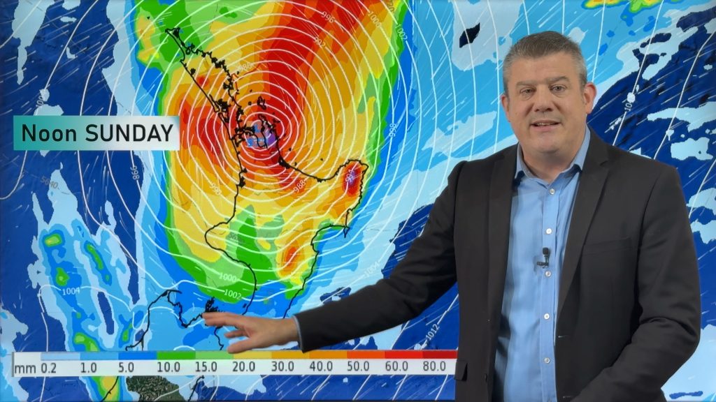
A ridge lies over the South Island today, a low to the northwest brings heavy rain and strong winds to the upper North Island.
Northland, Auckland, Waikato & Bay Of Plenty
Cloudy, rain about Northland spreads into Auckland and Waikato this morning then Bay Of Plenty by midday. Expect heavy falls, easing about Northland this afternoon, Auckland this evening and elsewhere overnight. Gusty east to northeasterly winds ease later in the day.
Highs: 14-18
Western North Island (including Central North Island)
Morning cloud, chance of a light shower then breaking to sunny areas and increasing high cloud, Kapiti stays mostly cloudy all day. Rain moves into Taranaki in the evening. Northwesterly winds tend southeast later in the day.
Highs: 13-15
Eastern North Island
Sunny areas and increasing high cloud, rain moves into Gisborne in the evening then spreading into Hawkes Bay around midnight. Heavy rain possible overnight. Light winds change to the south later / overnight.
Highs: 15-16
Wellington
Sunny spells, north to northwesterly winds.
High: 14
Marlborough & Nelson
Sunny, light winds tend north to northeast in the afternoon for Nelson, perhaps more easterly for Marlborough.
Highs: 14-16
Canterbury
Sunny, light winds tend east to northeast in the afternoon.
Highs: 11-13
West Coast
Chance of a morning shower, cloud breaks to sunny areas from afternoon. Southwesterly winds.
Highs: 12-13
Southland & Otago
Cloudy areas about Southland with the odd shower at times, showers more likely overnight. Central Otago is mostly sunny, coastal Otago has sunny spells. Westerly winds, gusty about the coast.
Highs: 11-14
By Weather Analyst Aaron Wilkinson – WeatherWatch.co.nz
Comments
Before you add a new comment, take note this story was published on 10 Aug 2020.


Add new comment