> From the WeatherWatch archives
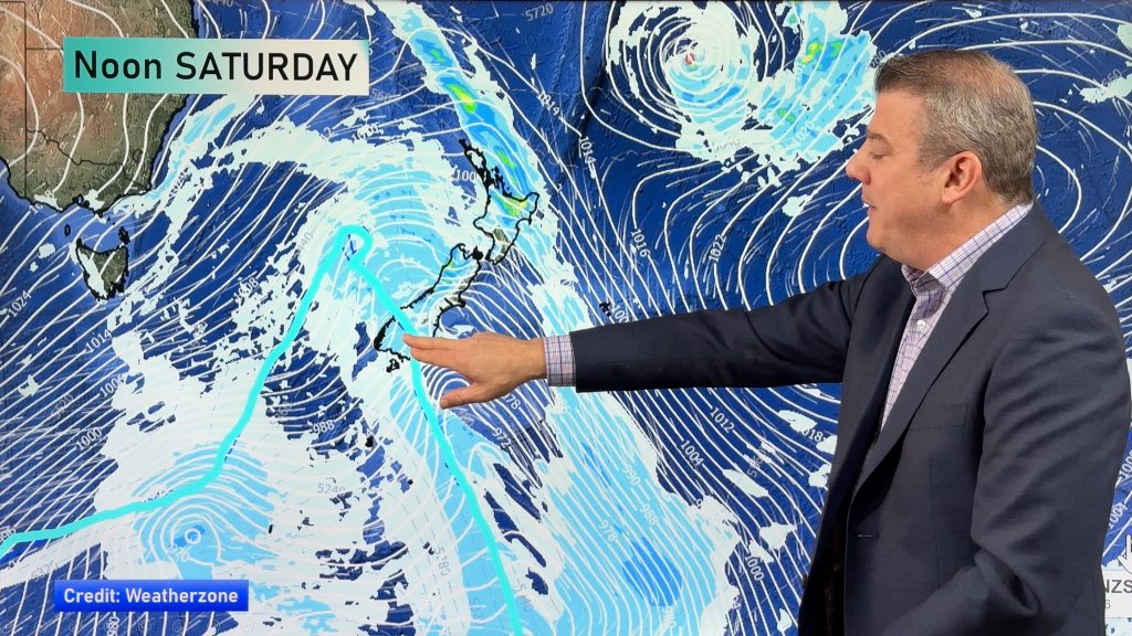
A low pressure system crosses over to the eastern side of the North Island today dragging in an east in a southerly airflow. Southwesterlies ease over the South Island with a weak ridge developing for a time then from afternoon a cold front hits the lower South Island reaching Canterbury from evening.
Northland, Auckland, Waikato & Bay Of Plenty
A mix of sun and cloud with any morning showers clearing. Showers for most of the day about Coromandel, Great Barrier Island and Northland then clearing evening. South to southeasterly winds.
Highs: 12-14
Western North Island (including Central North Island)
A few showers, mainly morning with some sun breaking through in the afternoon. Southeasterly winds, gusty about the coast then easing later in the day.
Highs: 10-12
Eastern North Island
Showers about Wairarapa, heavy rain further north then easing from evening. Fresh south to southwesterly winds.
Highs: 10-13
Wellington
Mostly cloudy with the odd shower, fresh southerlies.
Highs: 10
Marlborough & Nelson
Any early cloud clears then mostly sunny, south to southwesterly winds.
Highs: 10-13
Canterbury
Showers (snow flurries to 400m) becoming restricted to the coast / Banks Peninsula in the morning and sunny spells breaking further inland, breezy southwesterly winds. In the evening showers becoming widespread spreading in from the south with snow flurries to 500m.
Highs: 7-9
West Coast
Sunny, southeasterly winds.
Highs: 11-12
Southland & Otago
A dry start about Southland then showers from midday as southwesterlies freshen. Showers develop mid to late afternoon for Otago. Showers ease later in the evening. Some snow up on surrounding mountain ranges.
Highs: 7-10
By Weather Analyst Aaron Wilkinson – WeatherWatch.co.nz
Comments
Before you add a new comment, take note this story was published on 29 Jun 2020.


Add new comment