> From the WeatherWatch archives
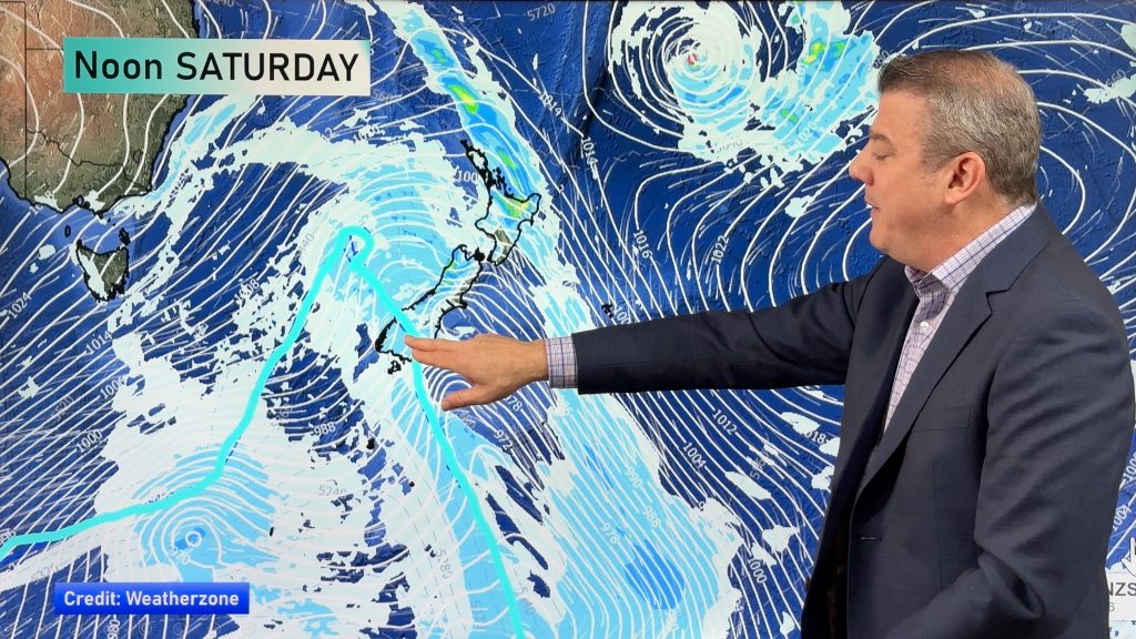
High pressure expands across New Zealand today but sub-tropical airflows are increasing in the north east of the country.
Check hourly forecasts and data for more details at your specific location – here are the regional forecasts for today:
Northland, Auckland, Waikato & Bay Of Plenty
A cool start inland then a hot day inland. Coastal areas milder overnight but not as hot by day. Mostly Sunny.
Highs: 24-29
Western North Island (including Central North Island)
A cool start inland then Sunny and hot inland but a little cooler and cloudier in the south along the coast. Light variable winds.
Highs: 20-26
Eastern North Island
A cooler day again with cloudier conditions the further north you go. Sunny spells increasing. There may be a few lingering showers or drizzle patches from northern Hawke’s Bay to Gisborne/East Cape.
Highs: 20-23
Wellington
Mostly Sunny, a few clouds possible. Light winds, possibly from the NE
High: 22-24
Marlborough & Nelson
Sunny in Marlborough, a few clouds possible in Nelson. Light winds and afternoon coastal breezes.
Highs: 21-24
Canterbury
Some cloudy areas, otherwise sunny. Light winds with a nor’easter at the coast.
Highs: 20-24
West Coast
Some rain in Fiordland. Dry elsewhere with a mix of sun and cloud. Cloud more likely in coastal areas.
Highs: 19-20
Southland & Otago
Cloudy at times, especially in coastal areas – otherwise sunny. Light winds or light northerly quarter winds. Dry or at least mainly dry, could be a spit later in Southland.
Highs: 18-27

– WeatherWatch.co.nz
Comments
Before you add a new comment, take note this story was published on 24 Feb 2020.


Add new comment