> From the WeatherWatch archives
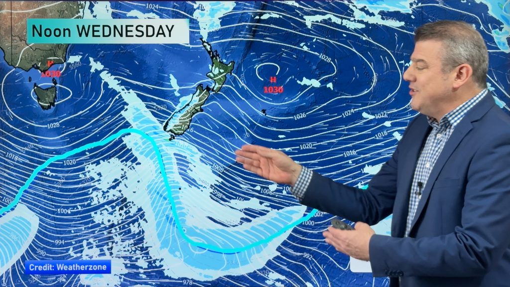
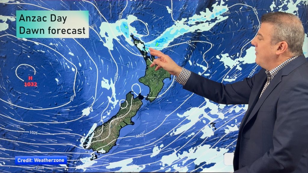
A strong southwesterly airflow eases over the country this morning as a ridge of high pressure pushes in from the Tasman Sea. This brings most regions some brief settled weather for a time after any morning showers clear away.
Northland, Auckland, Waikato & Bay Of Plenty
Any early showers clear then sunny areas increase, breezy west to southwesterly winds.
Highs: 18-20
Western North Island (including Central North Island)
Early rain or showers clear then sunny areas increase, south to westerly winds die out by evening.
Highs: 14-16
Eastern North Island
Any early showers clear, becoming mostly sunny in the morning with cool southwesterly winds dying out by evening.
Highs: 16
Wellington
Any early showers clear to sunny areas, strong Southerly winds ease from afternoon.
High: 13
Marlborough & Nelson
Mostly sunny with southwesterly winds easing during the day, high cloud from evening.
Highs: 15
Canterbury
Becoming mostly sunny in the morning after any early coastal showers clear, southwesterly winds die out in the afternoon.
High: 13
West Coast
Mostly sunny from morning, southwesterly winds die out around midday. Cloud increases again from evening.
Highs: 14-15
Southland & Otago
A few early morning showers clear then sunny areas develop, west to southwest winds tend northeast in the evening.
Highs: 10-11
By Weather Analyst Aaron Wilkinson – WeatherWatch.co.nz
Comments
Before you add a new comment, take note this story was published on 16 May 2016.


Add new comment