> From the WeatherWatch archives
The South Pacific cyclone season gets underway in November – although being the start of the season activity is usually down.
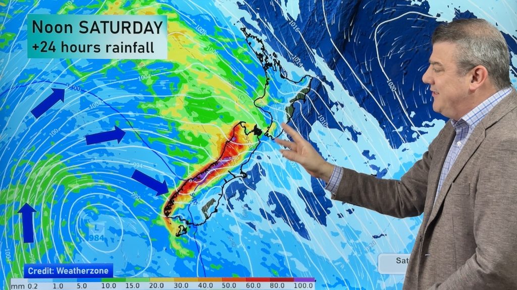
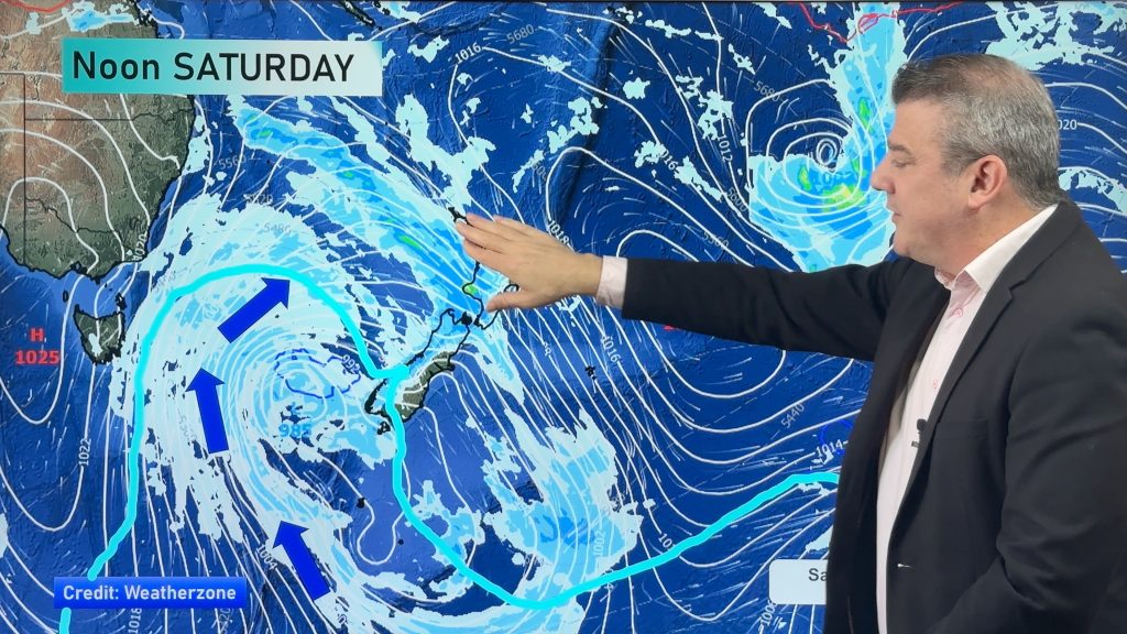
Latest maps still indicate a NZ window of opportunity for rain or showers in the final week of November, most likely arriving in about one weeks time.
However the window is very narrow and is surrounded by high pressure – which can smother the rain clouds quite effectively, or block them altogether. It’s looking likely that some wet stuff will arrive late next week, but still too soon to say where or how much. Probably a safe bet to say northern and western areas may be more exposed at first – those in the north will be happy to get another day of rain before December.
But it’s the activity further north of the country that is the most noticeable change to our maps at the moment. As highs continue to sink southwards, pushing the gale spring westerlies closer to Antarctica and away from New Zealand, so too do the tropical rain makers start sinking south.
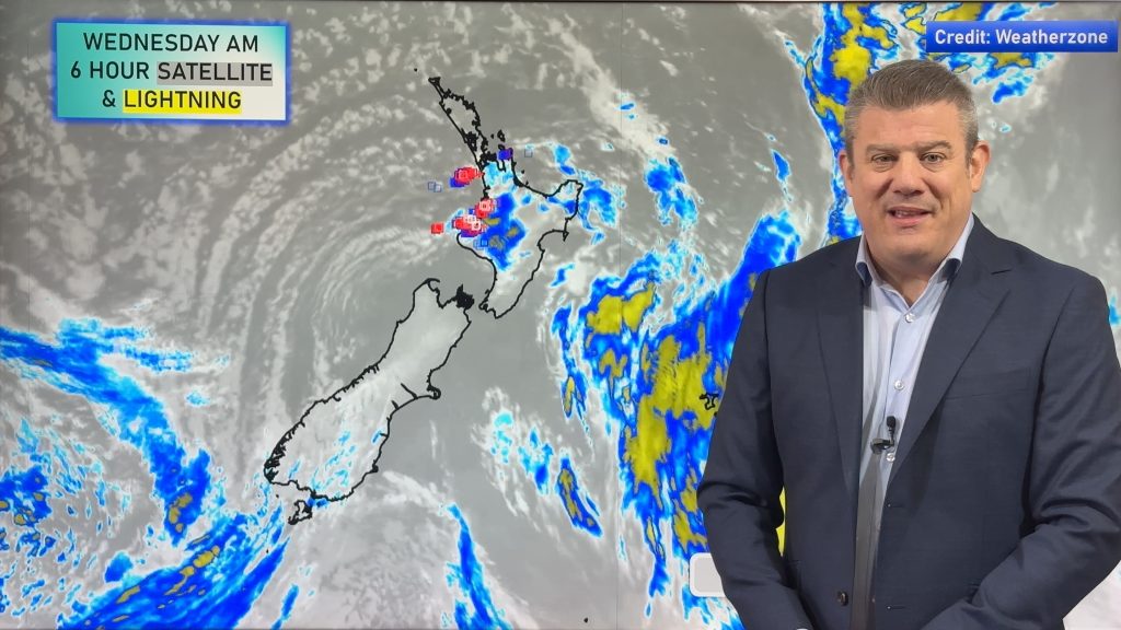
The tropics – directly north of New Zealand around Vanuatu to Fiji – is coming to life with more and more thunderstorms and more rainmakers.
By the end of November we expect the tropics to be active with lots of showers, thunderstorms and areas of rain, affecting island nations and parts of dry Australia – but still well north of NZ.
At this stage nothing serious is developing and it’s all rather text book – but the cyclone season is now upon us and WeatherWatch.co.nz will once again track any significant tropical systems well in advance over the coming months.
– Image / Rain map for late Nov / weathermap
– WeatherWatch.co.nz
Comments
Before you add a new comment, take note this story was published on 13 Nov 2013.


Add new comment