Your web browser (Internet Explorer) is out of date. Some things will not look right and things might not work properly. Please download an up-to-date and free browser from here.

TROPICS A TICKING TIME BOMB

WeatherWatch.co.nz


Tropical air streaming down onto NZ


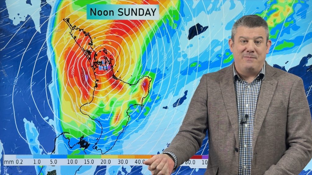
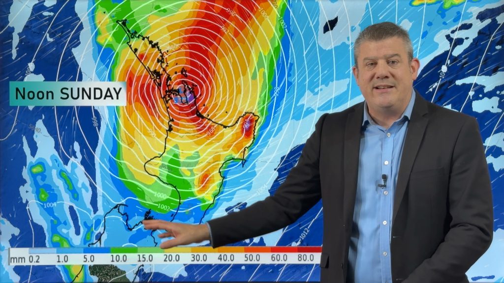
It’s a text book La Nina set-up with the tropics exploding into life above New Zealand while large high pressure systems roll across southern and eastern parts of New Zealand.  TRN’s head weather analyst Philip Duncan says Tropical Cyclone Funa has opened a pathway for tropical air to spread down on to New Zealand, and suggests it may not be our last tropical cyclone we see this season.  “The tropics are full of action at the moment with yet another low approaching our country this weekend”.  Duncan says although this low is much smaller it still has the potential to bring strong winds, high seas and even heavy rain for some.  “While most of the country should be dry this weekend, eastern parts of the North Island, especially Gisborne, could see some heavy falls as this tropical low skirts by”.

He says the cyclone season is only just getting into gear.  “Typically tropical cyclones peak during February and March so we’ve got quite a while to go yet.  We could be seeing tropical storms well into April”.
The potential for tropical rain will be music to farmer’s ears as drought-like conditions spread over many of the nations farms.  “Unlike last year, the potential for a one off drought breaking rainfall is quite high.  Farmers should be cautiously optimistic”.
Duncan says those celebrating Auckland Anniversary weekend will have mainly dry weather with just a small risk of an isolated shower, especially in the north, on Sunday.  “Winds may also pick up especially out at sea with swells potentially quite high on the east coast north of Coromandel Peninsula”. 
He says those who rely on tank water in the north and on Waiheke Island will have to wait a bit longer yet for some decent rain.


Comments

Related Articles