Thursday’s national forecast – Rain on the West Coast (+12 maps)
14/07/2021 4:00pm

> From the WeatherWatch archives
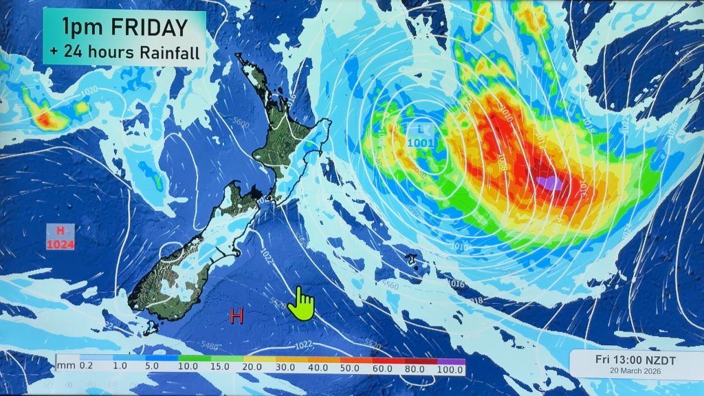
A decaying front passes out to the east of the South Island today meanwhile a northwesterly airflow lies over the North Island.
Expect rain for the West Coast, possibly heavy this morning then again from this evening. The western North Island has a few showers south of the Waikato and morning scattered rain clears for Southland and Otago. Later this evening eastern regions of the South Island see some scattered rain as a warm front passes over the South Island.
The eastern North Island has a cracker of a day with temperatures getting into the high teens.
Please refer to your local, hourly, 10 day forecast for more details.
Northland, Auckland, Waikato & Bay Of Plenty
Mostly sunny, cloud starts to increase from afternoon. Chance of a light shower about western Waikato by evening. Northwesterly winds.
Highs: 15-16
Western North Island (including Central North Island)
Some cloud, perhaps a shower or two, more so from afternoon as cloud thickens. Northwesterly winds, possibly a little breezy.
Highs: 9-15
Eastern North Island
Mostly sunny, there may be a touch of high cloud, mainly later in the day. Warm northwesterly winds.
Highs: 16-18
Wellington
Mostly cloudy, spits of rain about Upper Hutt spreading elsewhere by midday. Gusty northwesterly winds may ease for a time in the evening.
High: 14-15
Marlborough & Nelson
High cloud thickens up in the morning, spits of rain about Nelson from morning, becoming more persistent in the evening. Spits of rain spread into Marlborough in the evening. Northwesterly winds.
Highs: 12-15
Canterbury
Southerlies push through in the morning bringing mostly cloudy skies, winds tend to the northeast in the afternoon then expect scattered rain or spits in the evening.
Highs: 9-12
West Coast
Morning rain eases to showers, rain moves back in again in the evening becoming heavy. Northwesterly winds tend north to northeast later in the day.
Highs: 10-14
Southland & Otago
Morning showers or rain clears, some sun may break through otherwise mostly cloudy. Later in the evening or overnight scattered rain moves back in. Southwesterlies tend to the east later in the day.
Highs: 7-9


Comments
Before you add a new comment, take note this story was published on 14 Jul 2021.


Add new comment