Thursday’s national forecast – Last day of the ridge
9/03/2022 11:01am
> From the WeatherWatch archives
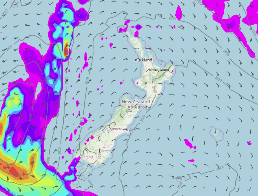
A ridge of high pressure still covers New Zealand today but it starts to get pushed out of the way tomorrow as a front moves onto the South Island.
Northland, Auckland, Waikato & Bay Of Plenty
A mix of sun and cloud, morning fog possible for the Waikato then clearing. A shower or two in the east from Coromandel up through to eastern Northland. East to northeasterly winds.
Highs: 23-27
Western North Island (including Central North Island)
Low cloud or fog (mainly inland) breaks away then mostly sunny, some cloud hangs about Taranaki during the day bringing a light shower or two. Cloud thickens up for all later in the day or overnight. Light winds tend onshore in the afternoon.
Highs: 23-27
Eastern North Island
Morning low cloud or fog then mostly sunny, a few light morning showers Mahia Pensinula northwards then clearing away. East to northeasterly winds.
Highs: 22-26
Wellington
Sunny after any morning low cloud or fog clears, light northerlies tend to the south later in the day.
Highs: 22-26
Marlborough & Nelson
A mainly sunny day after any early cloud or fog clears, afternoon easterlies for Marlborough, northerlies for Nelson.
Highs: 23-25
Canterbury
Morning low cloud or fog (chance of some coastal drizzle) then sunny spells increase in the afternoon, east to northeasterly winds.
Highs: 20-26
West Coast
Some sun and high cloud, mid level cloud at times too. Morning fog for inland Buller clears away. North to northeasterly winds.
Highs: 22-27
Southland & Otago
Morning low cloud or fog (perhaps some drizzle for coastal Otago) then expect some sun / high cloud in the afternoon, light winds. East to northeasterly winds for coastal Otago.
Highs: 20-26
Latest Video

Snow, rain showers & cold polar southerlies set to return
Friday will be a wintry day across NZ as the next cold front arrives, bringing snow to lower levels of…
Related Articles
Snow, rain showers & cold polar southerlies set to return
Friday will be a wintry day across NZ as the next cold front arrives, bringing snow to lower levels of…

Frosts, late week rain & another cold weekend coming
High pressure will cross NZ over the next few days meaning more cold nights/mornings with frosts, but a nor’wester will…

NZ: Cold & windy, then calm & frosty
Downpours, some squally with the chance of thunderstorms and even small tornadoes are possible for parts of NZ over Friday…

