> From the WeatherWatch archives
The low that has impacted the North Island since the weekend has finally gone and now a high pressure system is trying to move in.
It means a more settled forecast as winds ease, clouds clear and rain bands break up and clear away.
Daytime highs will be well above normal in the South Island as mild winds start to move in.
Here are the regional forecasts for Thursday
Northland, Auckland, Waikato & Bay Of Plenty
West to south west winds with a few cloudy areas, sunny in Bay of Plenty. Light winds for many, or light westerly quarter winds – a little breezier through Auckland.
Highs: 20 – 23
Western North Island (including Central North Island)
A few cloudy areas mixed in with the sun. Westerly quarter winds.
Highs: 17 – 20
Eastern North Island
A sunnier, drier, warmer day. Southerlies fading out in Gisborne and Hawke’s Bay, and westeries developing in Wairarapa.
Highs: 18 – 23
Wellington
Warmer and drier with north to north west winds and sunny spells.
High: 18
Marlborough & Nelson
Northerlies with a mix of sun and cloud.
Highs: 21 – 23
Canterbury
A sunnier, milder, day. Light winds or a light N to NE breeze. Hottest weather well inland.
Highs: 17 – 26
West Coast
A little cloudy at times in coastal areas especially. Light winds from the westerly quarter.
Highs: 17 – 22
Southland & Otago
A bit cloudy at times in coastal areas otherwise a dry and warm day. Variable winds, but westerlies in Southland’s coastal areas where it will be cooler. Hot inland, pushing closer to 30 degrees in Central Otago.Highs: 15-28
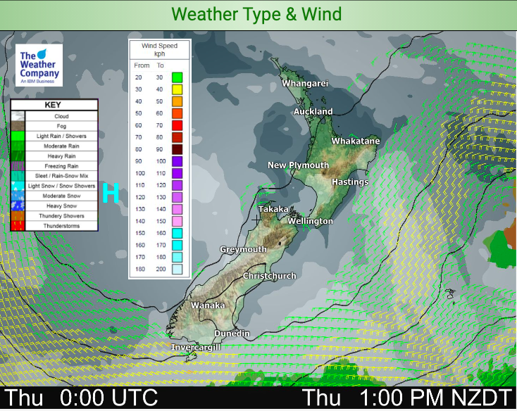
THE MAPS:


As always, to drill down deeper please visit www.RuralWeather.co.nz or check your local HOURLY forecasts.
Latest Video

Cold weekend, frosts return with high pressure, then a low late next week
The subantarctic airflow spreads over NZ today/tonight and into Saturday, dropping temperatures nationwide. Snow flurries are possible today to lower…
Related Articles
Cold weekend, frosts return with high pressure, then a low late next week
The subantarctic airflow spreads over NZ today/tonight and into Saturday, dropping temperatures nationwide. Snow flurries are possible today to lower…

Wintry burst of weather: Snow, squally showers then sunshine & frosts
A polar change (another one!) arrives on Friday for the South Island and goes nationwide on Saturday, leaving NZ under…

Antarctic southerly for parts of NZ Fri & Sat
For the first time this year a southerly from off Antarctica is heading towards the South Island, followed by more…

