> From the WeatherWatch archives
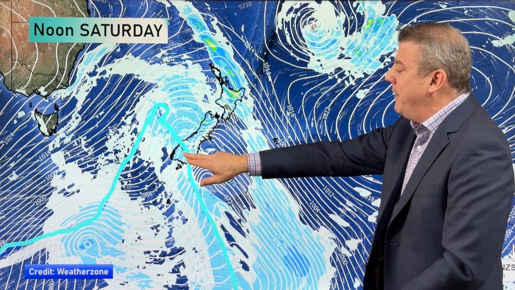
An easterly quarter airflow lies over the country today. An occluded front spinning out of a low pressure system in the Tasman Sea brings heavy rain to northeastern parts of the North Island.
Northland, Auckland, Waikato & Bay Of Plenty
Rain south of about Auckland may be heavy at times, breezy easterly winds. Showers and sunny spells for Northland, isolated heavy falls in the afternoon with a risk of thunder then easing later on.
Highs: 14-18
Western North Island (including Central North Island)
Mostly cloudy, showers or rain at times for Taranaki. Southeasterly winds, gusty about the coast.
Highs: 11-15
Eastern North Island
Cloudy with patchy rain or drizzle, rain picks up about East Cape from afternoon. Breezy easterlies.
Highs: 13-15
Wellington
Mostly cloudy, chance of a light shower otherwise mainly dry. Breezy southeasterly winds.
High: 13
Marlborough & Nelson
Cloudy with drizzle for Marlborough, mostly cloudy but mainly dry for Nelson. East to southeasterly winds.
Highs: 12-15
Canterbury
Patchy rain or drizzle, southeasterly winds.
Highs: 8-9
West Coast
Mostly sunny, some high cloud. Some morning fog possible about inland valleys / basins. Southeasterly winds.
Highs: 13-16
Southland & Otago
Morning low cloud or fog breaks to sunny spells, easterly winds.
Highs: 6-11
By Weather Analyst Aaron Wilkinson – WeatherWatch.co.nz
Comments
Before you add a new comment, take note this story was published on 24 Jun 2020.


Add new comment