
Thursday’s cold front, then more westerlies on way
9/09/2026 11:51am
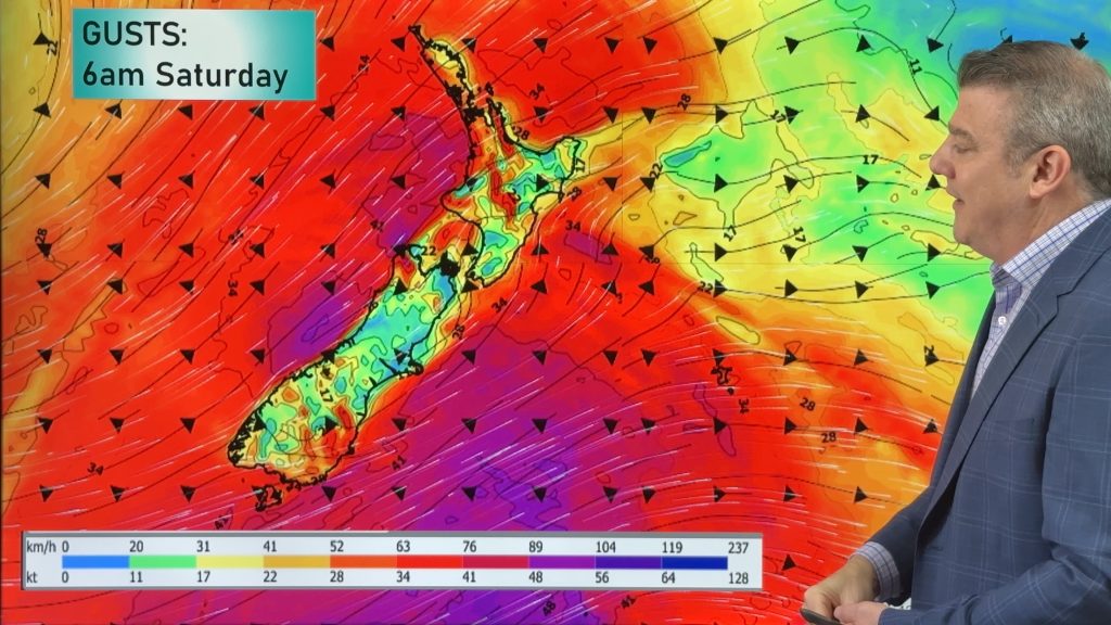
A cold front will spread over the South Island by noon tomorrow, then over the North Island by midnight tomorrow, bringing a nationwide drop in temperatures – although the North Island may be fairly mild up until that front arrives across tomorrow PM.
It’s short lived though – by Friday places will already be warming up, but that’s ahead of another shot of cold air over the South Island and lower/eastern North Island on Saturday. Spring ups and downs!
This weekend and early next week high pressure will drift over the Tasman Sea and may brush northern NZ early next week – but this placement should again see a surge in windier westerlies across NZ.
We have your New Zealand forecast through to Tuesday of next week + a 7 day rainfall map to make sense of the showers and wet weather.
Latest Video
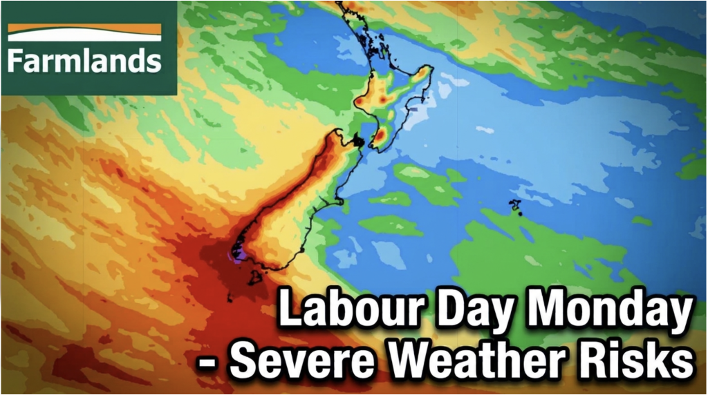
Labour Day severe weather risks – but large dry areas this weekend
High pressure shapes our weather this weekend but by Monday low pressure will affect the south bringing severe nor-west gales…
Related Articles
Labour Day severe weather risks – but large dry areas this weekend
High pressure shapes our weather this weekend but by Monday low pressure will affect the south bringing severe nor-west gales…
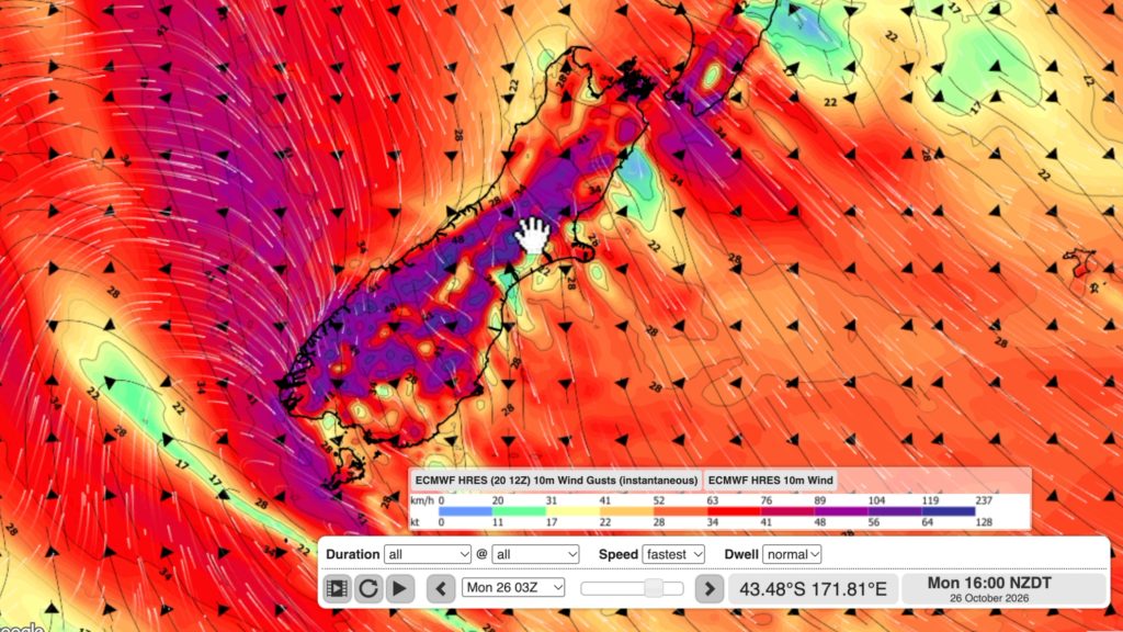
NZ: Long Weekend update, Labour Day severe weather risks
A very large and slow moving high pressure zone will slip off NZ to the east of the North Island…
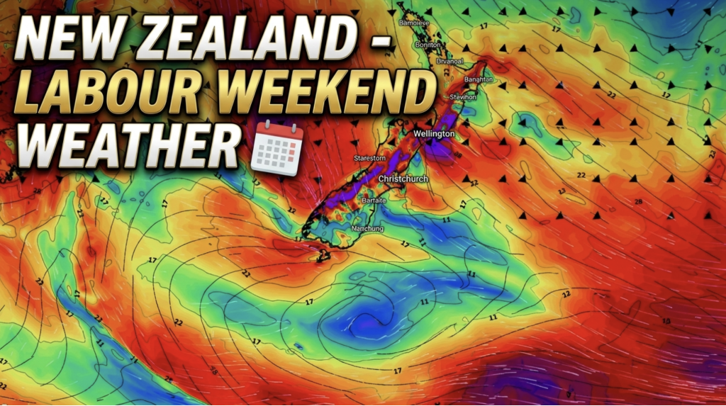
Weather this week & Labour Weekend
High pressure dominates NZ’s weather this week, but slides off much of the country by Labour Day Monday. Despite the…

