This week is not your typical week of summer weather – we break it all down (+9 Maps)
20/01/2019 10:11pm

> From the WeatherWatch archives
This week will feel like summer in the North Island but may feel more like Spring/Autumn in the South Island as two storms in the Southern Ocean churn by disrupting New Zealand’s weather pattern.
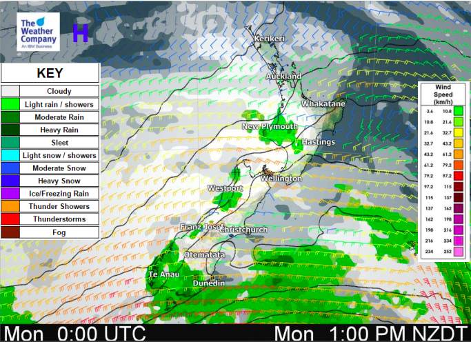
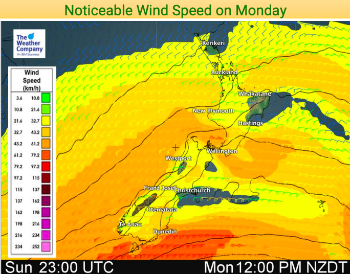
At times strong winds will surge in with two significant cold changes this week – today and again on Thursday in the lower South island, where highs will struggle to climb above the low teens. In between those two days it will be mild but cloudy with some shower or rain activity. This same windy west to south west set up will also help boost temperatures in the east to north east of both islands with 30 degrees possible in some areas this week (especially Wednesday) and again this weekend.
Rain will be heavy on the West Coast with over 100mm possible – watch for potential rain warnings. Rain will spillover into Southland and Otago but will only send a little bit into the North Island on Thursday.
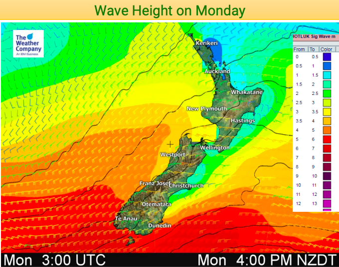
With another storm in the Southern Ocean this weekend expect more big variety in weather from one end of the country to the other, with windiest, wettest and coolest weather most likely the further south you go and hotter, drier, calmer weather the further north east you are.


– WeatherWatch.co.nz
Latest Video

Cold weekend, frosts return with high pressure, then a low late next week
The subantarctic airflow spreads over NZ today/tonight and into Saturday, dropping temperatures nationwide. Snow flurries are possible today to lower…
Related Articles
Cold weekend, frosts return with high pressure, then a low late next week
The subantarctic airflow spreads over NZ today/tonight and into Saturday, dropping temperatures nationwide. Snow flurries are possible today to lower…

Wintry burst of weather: Snow, squally showers then sunshine & frosts
A polar change (another one!) arrives on Friday for the South Island and goes nationwide on Saturday, leaving NZ under…

Antarctic southerly for parts of NZ Fri & Sat
For the first time this year a southerly from off Antarctica is heading towards the South Island, followed by more…

