> From the WeatherWatch archives
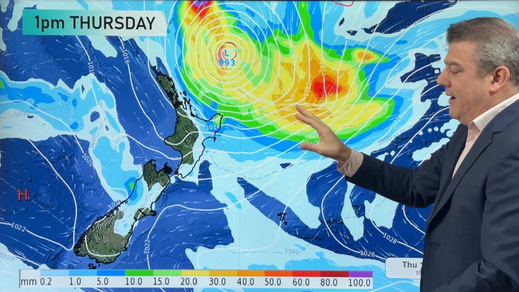
The stand out feature would have to be the heavy rain that affected the Bay of Plenty and Tauranga earlier in the week with surface flooding. The cause of the deluge was from a front that wouldn’t budge for much of Tuesday.
Southland felt the cold later in the week with maximum temperatures struggling at times to hit the teens, although the first two days were very warm with the mercury in the mid 20s.
The hottest temperature across the nation was 28 degrees which was recorded in Napier on Thursday and a string of of mid to high 20s were also recorded in the east on that day.
Overall, temperatures were a little cooler this week and today is the equinox, which signals a change of season in many parts of the world. In New Zealand our season swung into gear on the 1st of March, so we are officially 3 weeks into autumn.
Today should see a southerly spread north over eastern parts of the country with very cool temperatures expected in the south. Some showers are associated with it but at this point, not to any great degree.
Elsewhere it should generally be dry with sunny spells but cool conditions too.
Comments
Before you add a new comment, take note this story was published on 20 Mar 2009.


Add new comment