The last day of 2020 in NZ – Here’s how the weather is looking! (+5 Maps)
30/12/2020 3:00pm

> From the WeatherWatch archives
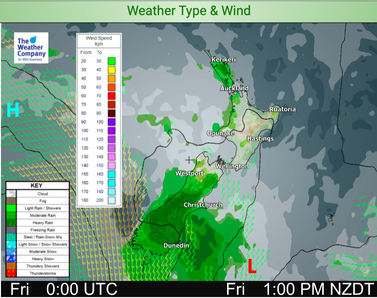
The weather is fairly settled (not windy) across most of New Zealand for the last day of 2020.
Some low pressure develops over the South Island today and into New Year’s Day. This set up brings wet weather in a few different forms – some light drizzle, some patchier more set-in rain in and a few inland heavier afternoon downpours.
Take a look at the rain maps and rain accumulation maps we have here, for even more details: https://www.weatherwatch.co.nz/maps-radars/rain/accumulative-rainfall and of course your local hourly forecasts will help break down possible/likely totals where you will be specifically.
Most of the South Island’s interior, West Coast and southern half will be warmer than average today, while Canterbury, Nelson and Marlborough are where they should be for this time of year. Banks Peninsula has a cooler breeze which may make that region – along with the eastern North Island – cooler than normal today. The rest of the North Island is average to above average (slightly) temperature-wise.
Refer to your local HOURLY forecasts for much more detail where you plan on being today, tonight and/or tomorrow.
HAPPY NEW YEAR from the entire WeatherWatch and RuralWeather teams – thank you for your support this year. It’s been an unusual one and that is an understatement. Later today we’ll have our Year In Review, highlighting the biggest weather news moments of 2020 in the New Zealand and South Pacific area, based on our internal Google Analytics (ratings).
ALSO – we have our next ClimateWatch update out today, covering January’s potential climate/weather.
Stay safe – have a great night ahead!


Latest Video

More eastern rain, but a drier long weekend coming
Rain continues today along the eastern South Island and lower North Island, coming in from the east with heavy falls….
Related Articles
More eastern rain, but a drier long weekend coming
Rain continues today along the eastern South Island and lower North Island, coming in from the east with heavy falls….

More heavy rain, snow – but large dry areas, especially as we go into the long weekend
Heavy rain will continue for parts of Canterbury and Marlborough over the next day or two and it will gradually…

Large low brings rain, downpours & some snow – gets colder as the week progresses
Low pressure will cross the upper North Island in the days ahead and that set-up actually pushes more heavy rain…

