Your web browser (Internet Explorer) is out of date. Some things will not look right and things might not work properly. Please download an up-to-date and free browser from here.
9:52am, 10th April
Home > News > Taupo / Sth Waikato severe thunderstorm ...
Taupo / Sth Waikato severe thunderstorm warnings LIFTED
28/01/2010 7:46am

> From the WeatherWatch archives
As of 9:28pm all warnings were lifted
Comments
Before you add a new comment, take note this story was published on 28 Jan 2010.
Latest Video
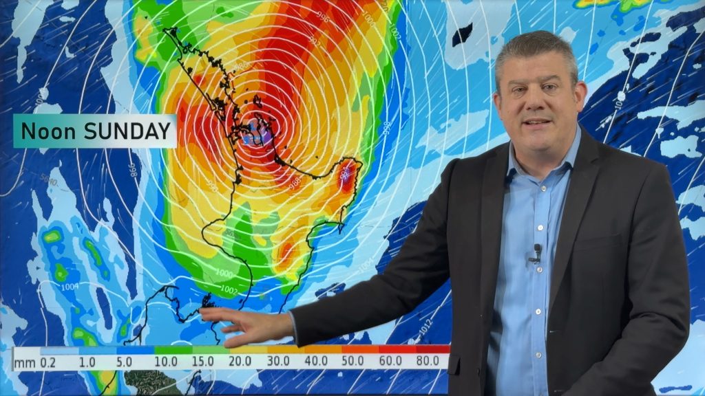
NZ (THU): Latest on Cyclone Vaianu, Sunday landfall in North Island
Severe weather is expected to develop as early as Saturday in the upper North Island ahead of Cyclone Vaianu, which…
Related Articles
NZ (THU): Latest on Cyclone Vaianu, Sunday landfall in North Island
Severe weather is expected to develop as early as Saturday in the upper North Island ahead of Cyclone Vaianu, which…
Tropical Cyclone Vaianu’s track directly into NZ this weekend
Localised heavy rain is still affecting some parts of NZ today, seperate to the tropical cyclone which is tracking directly…
Tropical Cyclone VAIANU: Fiji then NZ
*Published Tuesday AM* Fiji is being affected today by offshore Severe Tropical Cyclone Vaianu and NZ has the chance of…
Navigation
Follow us on
© 2026 WeatherWatch Services Ltd


Add new comment
Jen on 28/01/2010 7:55am
how accurate is it at this moment? Has it gone down? The reason I ask is because it’s only showing 409 strikes and hardly any are around Taupo. Yet there is a severe thunder storm warning in place.
Reply
WW Forecast Team on 28/01/2010 8:05am
Warning is actually for well north west of Taupo and the storms are moving AWAY from the town. The detector isn’t bang on accurate but gives a fairly good "rough" estimate of where the strikes are coming from.
Reply
Jen on 28/01/2010 8:12am
Just wondered
Reply