Sunday’s setup across NZ for the first day of November 2020 (+8 weather maps)
31/10/2020 3:00pm

> From the WeatherWatch archives
Sunday will be drier and calmer, while the warmer than average weather shifts around a little from where it was on Saturday as wind flows turn more sou’west.
Generally speaking most of the country leans warmer than average again today and most showers are in the South Island around the western and southern sides.
Sunniest weather/clearest skies will be in the east – as you can see in the first map below. Hawke’s Bay and Canterbury look sunniest, along with Nelson and north Otago. Cloudiest weather will be Southland and the West Coast.
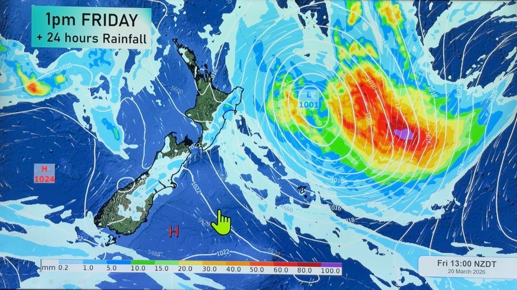
High pressure is parked to the east of the country and a low is entering the Tasman Sea from Australia with thunderstorms well out at sea from NZ.
To drill down deeper, please visit www.RuralWeather.co.nz!


Comments
Before you add a new comment, take note this story was published on 31 Oct 2020.


Add new comment