Sunday’s national forecast – Weak cold front falls apart, most of NZ warmer than average (+4 Maps)
5/09/2020 4:00pm

> From the WeatherWatch archives
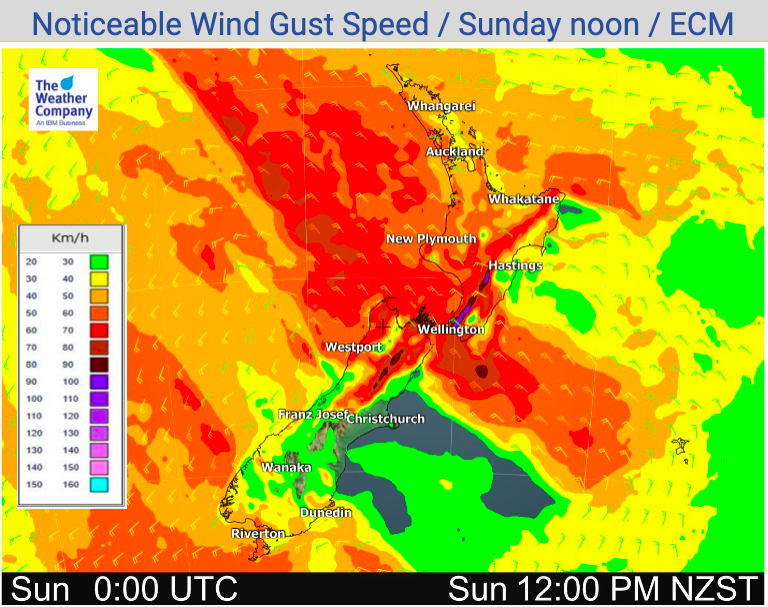
Rain and showers lie through central parts of NZ today as a weak cold front moves up the nation and mostly falls apart.
Clouds will thicken in northern NZ with evening rain or showers. The further down the western North Island the more likely showers will be.
Rain and showers on the West Coast ease today and transfer to the east coast with a slightly cooler southerly, although daytime highs on Sunday are mainly above average in every region – except maybe Southland where they are mostly normal for September 6.
The eastern North Island looks dry, mild and fairly sunny with daytime highs into the early 20s possible for some spots – although varying high cloud may drop some highs into the late teens.


Visit www.RuralWeather.co.nz for even more weather data!
Latest Video

Cold weekend, frosts return with high pressure, then a low late next week
The subantarctic airflow spreads over NZ today/tonight and into Saturday, dropping temperatures nationwide. Snow flurries are possible today to lower…
Related Articles
Cold weekend, frosts return with high pressure, then a low late next week
The subantarctic airflow spreads over NZ today/tonight and into Saturday, dropping temperatures nationwide. Snow flurries are possible today to lower…

Wintry burst of weather: Snow, squally showers then sunshine & frosts
A polar change (another one!) arrives on Friday for the South Island and goes nationwide on Saturday, leaving NZ under…

Antarctic southerly for parts of NZ Fri & Sat
For the first time this year a southerly from off Antarctica is heading towards the South Island, followed by more…

