Sunday’s National Forecast – Unsettled in the North, dry in the South
29/04/2023 5:00pm

> From the WeatherWatch archives
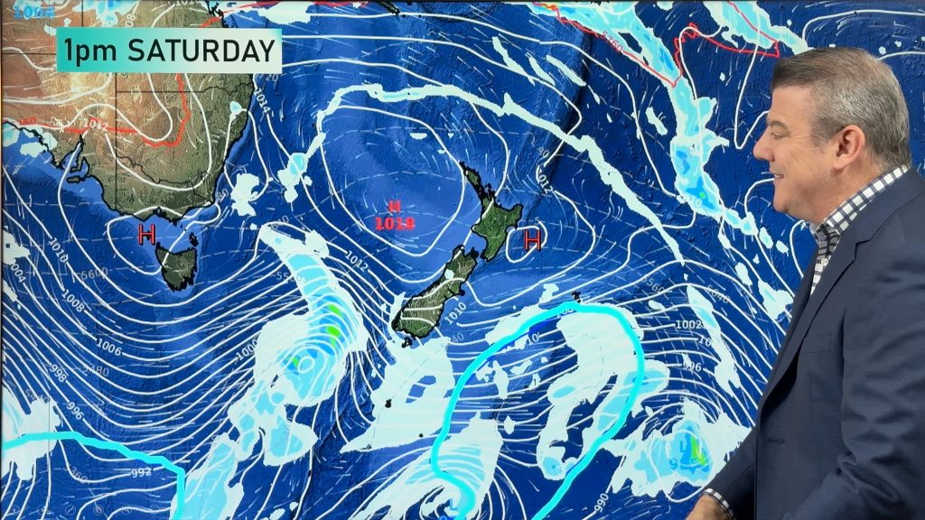
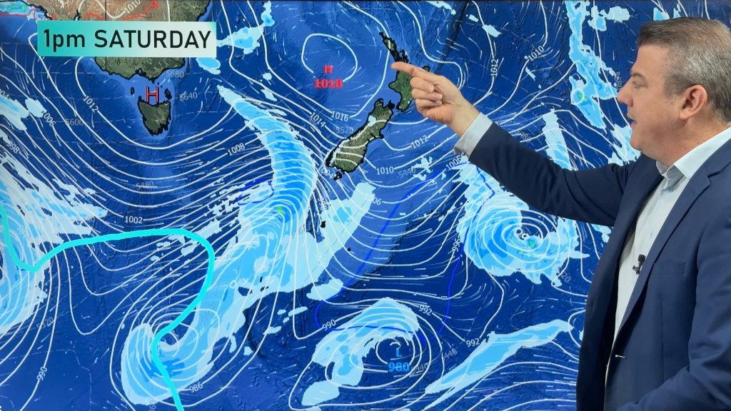
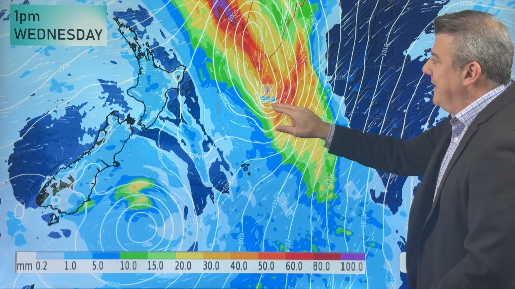
A low pressure system, spinning down from the tropics, approaches the upper North Island today. High pressure remains over the south enabling settled conditions.
It’ll be a wet and humid Sunday for northern regions of the country as the approaching low pressure system drags in a strong North-Easterly airflow. Expect periods of rain to develop and become widespread across Northland, Auckland and the Coromandel, with showers at times about the Waikato. Rain may be heavy for a time about eastern Northland during the afternoon, and about Auckland and the Coromandel in the evening. North-Easterlies are set to be strong and gusty, particularly in exposed coastal areas with gusts 70 to 90km/h in the most exposed areas from the Kaimai Ranges northwards. Most other places will have gusts in the 40 to 70km/h range.
The remainder of the North Island should remain mostly dry under thick overcast skies, with the exception of a few light showers in the east, north of Hawke’s Bay. Wellington and Wairarapa should see some sunny spells at first, before high cloud spreads down from the north during the afternoon.
Conditions are looking very pleasant in the South – mainly fine with light winds over most of the Island, barring some showers sticking to Fiordland. Patches of morning fog are likely about inland areas at first, followed by increasing high cloud throughout the day, particularly for northern regions of the island.
Daytime highs should be fairly consistent across the board today, ranging from 15 degrees about the inland South Island, to a muggy-feeling 20 degrees in the far North.
Comments
Before you add a new comment, take note this story was published on 29 Apr 2023.


Add new comment