Sunday’s national forecast – SW winds for many (+4 Maps)
21/11/2020 3:00pm

> From the WeatherWatch archives
A cooler day for many parts of New Zealand today with eastern areas below average temperature-wise this afternoon and much of the country below normal overnight tonight.
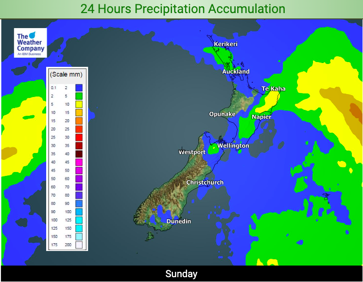
Showers will mostly be clearing the north and lingering in the North Island’s eastern side until clearing later today.
Winds won’t be as bad as yesterday. The main low now lies just south of the Chatham Islands and is moving eastwards as high pressure expands from the west.
To drill down deeper with your local weather forecast refer to your HOURLY data at both WeatherWatch and www.RuralWeather.co.nz.


First-at-4am-Forecasts — 7 days a week from 4am, exclusive to www.WeatherWatch.co.nz and www.RuralWeather.co.nz!
Latest Video

Slow moving low to track over northern NZ
A low pressure zone will slowly cross the North Island over the coming days, bringing hit and miss pockets of…
Related Articles
Slow moving low to track over northern NZ
A low pressure zone will slowly cross the North Island over the coming days, bringing hit and miss pockets of…

NI low pressure, SI polar change
Low pressure will move over the upper North Island this week, bringing hit and miss pockets of heavier rain into…

Rain & showers this weekend, colder change next week
Some places will warm up over the next day or so as a nor’wester out of Australia moves across NZ,…

