Sunday’s national forecast & outlook for Monday – a mix of sun, snow and rain showers (+8 Maps)
28/08/2021 4:00pm

> From the WeatherWatch archives
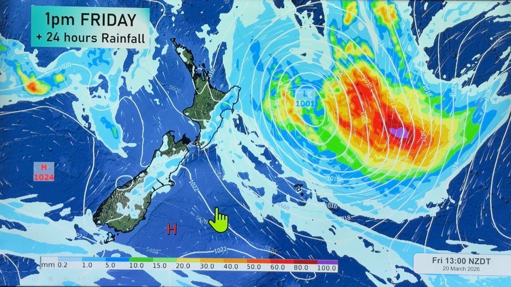
Low pressure from the Tasman Sea is moving into the North Island and falling apart over the next couple of days while high pressure expands further south.
As this happens a colder change moves northwards and rain turns to snow along the hills, ranges and higher elevation parts of both main islands.
To really drill down deeper in your hyper-local area, please visit www.RuralWeather.co.nz and the hourly forecasts at WeatherWatch.co.nz – both powered by our official business partners at IBM and IBM Watson (the World’s Most Accurate Weather Forecaster).


Comments
Before you add a new comment, take note this story was published on 28 Aug 2021.


Add new comment