Sunday’s national forecast – High pressure rolls in (+7 Maps)
19/09/2020 4:00pm

> From the WeatherWatch archives
A large high from the Tasman Sea moves in today, pushing away remaining light showers but still bringing a fairly cloudy day to a number of regions.
Central NZ and the eastern South Island should see some of the sunniest weather today.
Winds will be light in many places with some parts of northern NZ having a role reversal with the winds, from windy westerlies to light easterlies.
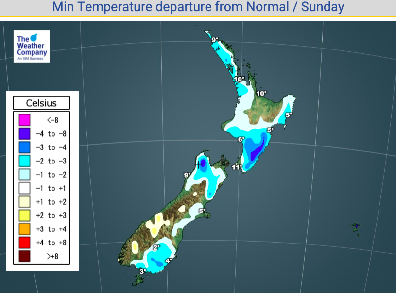
Elsewhere, after a cool morning, the afternoon looks fairly mild. Some light frosts are possible through the South Island’s interior but the afternoon looks several degrees warmer than average.
To drill down deeper, check out New Zealand’s LARGEST weather data website…in fact, it’s the biggest NZ weather data site on earth. www.RuralWeather.co.nz – Entirely Free access for 2020!


- www.RuralWeather.co.nz for much more data in your local area
Latest Video

Antarctic southerly for parts of NZ Fri & Sat
For the first time this year a southerly from off Antarctica is heading towards the South Island, followed by more…
Related Articles
Antarctic southerly for parts of NZ Fri & Sat
For the first time this year a southerly from off Antarctica is heading towards the South Island, followed by more…

Meteors – Your Eyewitness Reports!
WeatherWatch.co.nz receives meteor reports from all over New Zealand and the globe, 24/7/365. **CASUAL COMMENTS**If you’ve seen something in the…

Snow, rain showers & cold polar southerlies set to return
Friday will be a wintry day across NZ as the next cold front arrives, bringing snow to lower levels of…

