Sunday’s national forecast (+8 Maps)
31/07/2021 4:00pm

> From the WeatherWatch archives
Today is a fairly quiet one across NZ but showers will be in both islands. The bulk of the wet weather will be around the West Coast and and the lower half of the South Island (including eastern areas up to about Canterbury).
A few early isolated heavy falls are possible in the lower South Island.
In the North Island a few showers will fall along the east coast from Wairarapa to Gisborne.
Most other places are completely dry or mostly dry.
Winds aren’t too strong in most regions but SE winds may be a bit brisk in the upper coastal North Island to the east.
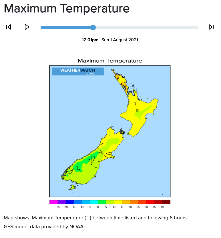
Temperatures are fairly mild in most places today for this time of year – but cooler air is now moving into the lower South Island.
Check your HOURLY hyper-local forecast at WeatherWatch or via www.RuralWeather.co.nz.


Latest Video

More heavy rain, snow – but large dry areas, especially as we go into the long weekend
Heavy rain will continue for parts of Canterbury and Marlborough over the next day or two and it will gradually…
Related Articles
More heavy rain, snow – but large dry areas, especially as we go into the long weekend
Heavy rain will continue for parts of Canterbury and Marlborough over the next day or two and it will gradually…

Large low brings rain, downpours & some snow – gets colder as the week progresses
Low pressure will cross the upper North Island in the days ahead and that set-up actually pushes more heavy rain…

WeatherWatch App launches real-time local lightning tracker!
A bolt out of the blue! WeatherWatch has launched a live, real-time lightning tracker, enabling Kiwis to gain access to data provided by the…

