> From the WeatherWatch archives
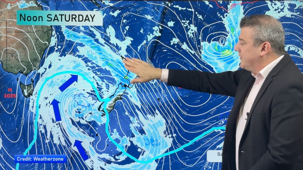
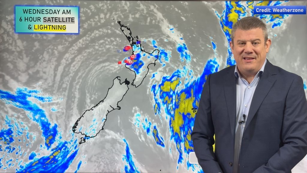
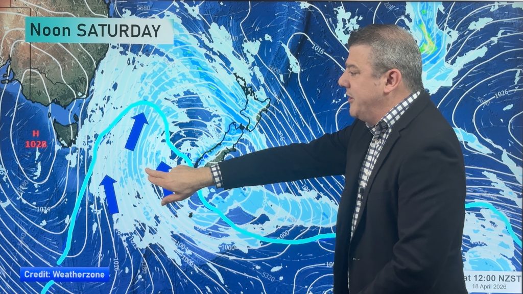
A high is parked to NZ’s north west while a sub-tropical low is parked to our north east. This set up encourages cloud to move up the western side of the North Island and a large portion of the South Island.
Showers – or a small area of rain – moves up the West Coast.
There is the chance of an isolated heavy downpour inland in both islands this afternoon – but it does look mainly dry across the country as you can see in the infographic below.
Highs today: 16 to 30 (coolest in coastal Otago, coastal Southland and the West Coast, hottest in the central North Island valleys and inland Marlborough)

– WeatherWatch.co.nz
Comments
Before you add a new comment, take note this story was published on 23 Nov 2019.


Add new comment