Saturday’s national forecast – Southwest airflow (+5 maps)
8/10/2021 3:00pm

> From the WeatherWatch archives
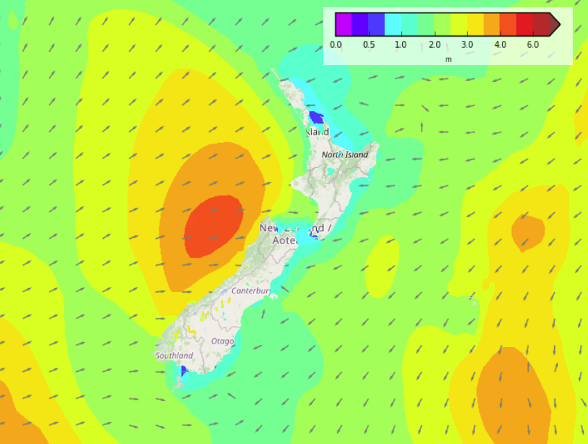
A front moving over the North Island this morning drags in a southwesterly airflow over New Zealand bringing showers to many regions. The Bay Of Plenty though stays mainly dry and showers clear up about the far south from this afternoon.
Please refer to your local, hourly, 10 day forecast for more details.
Northland, Auckland, Waikato & Bay Of Plenty
Morning cloud and a few showers then sunny spells increase, the odd shower may continue out west for the rest of the day. Breezy southwesterlies.
Highs: 17-20
Western North Island (including Central North Island)
Cloudy areas and a few showers, west to southwesterly winds change southerly overnight.
Highs: 12-17
Eastern North Island
Sunny, light winds change southwest in the afternoon. Cloud and a few showers develop about Wairarapa in the afternoon then further north in the evening.
Highs: 18-21
Wellington
Morning northwesterlies with sunny spells, southerlies develop around midday bringing increasing cloud and the chance of a shower. A higher chance of showers in the evening.
Highs: 16-18
Marlborough & Nelson
Dry in the morning with some sun, showers develop in the afternoon with southerlies, possibly heavy with thunderstorms for Marlborough then clearing at night.
Highs: 17-19
Canterbury
There may be some sun first thing then cloud increases in the morning with the odd shower and freshening southwesterlies, showers pick up late afternoon (especially inland) then clear overnight.
Highs: 15-18
West Coast
Showers, clearing Fiordland in the morning then sunny areas break through. Further north expect a mostly cloudy day with showers, clearing in the evening. Southwesterly winds.
Highs: 15-17
Southland & Otago
Showers, possibly heavy, clearing around midday for Southland then during the afternoon for Otago. Perhaps not clearing coastal Otago till evening. Once showers clear sunny spells increase, southwesterly winds die out in the evening.
Highs: 13-17
WeatherWatch.co.nz is proud to be setting the international standard for forecasting in NZ – powered by IBM


Latest Video

Wintry weather coming: Snow, rain, wind & sunshine
A cold front is moving into NZ from Friday to Sunday with low pressure developing west of NZ and then…
Related Articles

Polar airflow + northern low = pockets of heavy rain & snow
A colder change is coming – and so too is a large low which will develop and grow over northern…
Wintry weather coming: Snow, rain, wind & sunshine
A cold front is moving into NZ from Friday to Sunday with low pressure developing west of NZ and then…

ClimateWatch: JULY outlook & what El Niño means for NZ
El Niño is officially here and still getting stronger in the months ahead, but it’s harder to notice its effects…

