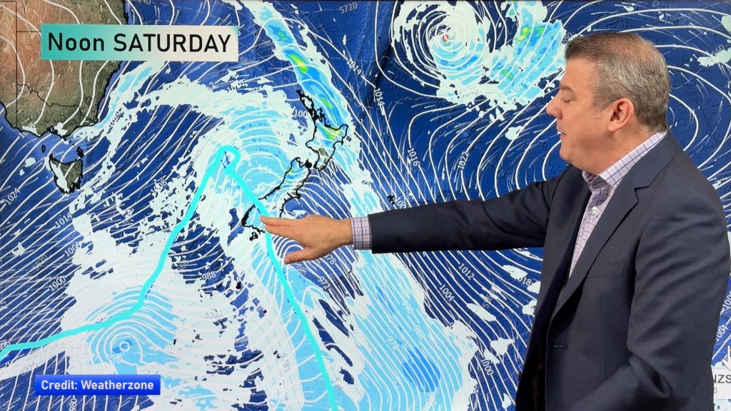
Saturday’s national forecast – Rain the north, perhaps a PM T/Storm (+10 maps)
27/08/2021 4:00pm

> From the WeatherWatch archives
A front moves off the top of the South Island and North Island to the east this afternoon and with it goes rain easing to a few showers, Northland may see an isolated thunderstorm this afternoon. The rest of the South Island is quite cloudy, the odd shower or drizzle patch about but plenty of dry areas too.
Please refer to your local, hourly, 10 day forecast for more details.
Northland, Auckland, Waikato & Bay Of Plenty
Morning rain eases to the odd shower and sunny spells, showers in the afternoon north of Auckland may become heavy with thunderstorms then easing evening. Rain may not ease about Bay Of Plenty till midday. Northerlies.
Highs: 17-18
Western North Island (including Central North Island)
Morning rain eases to showers, showers clear by evening. Light winds.
Highs: 13-16
Eastern North Island
Rain, clearing around midday. Sun breaks through from afternoon as light northeasterlies tend northwest. Wairarapa sees morning rain ease to showers as northerlies change to the southwest, showers clear by evening.
Highs: 15-20
Wellington
Morning rain eases to showers as northerlies change to the south, conditions becoming dry in the evening.
Highs: 12-15
Marlborough & Nelson
Rain may be heavy first thing then easing to the odd shower by midday, clearing at night. Light winds.
Highs: 13-15
Canterbury
Cloudy with the odd shower or drizzle patch, plenty of dry areas too. Light winds.
Highs: 10-12
West Coast
Mostly cloudy with some drizzle or a few showers, dry for South Westland but the odd light shower spreads in there late afternoon. Light northeasterlies.
Highs: 14-16
Southland & Otago
Mostly cloudy, may be a light shower or two. Light easterly quarter winds. Coastal Otago has a higher chance of drizzle with northeasterly winds. Conditions become mainly dry in the evening.
Highs: 10-13
WeatherWatch.co.nz is proud to be setting the international standard for forecasting in NZ – powered by IBM


Comments
Before you add a new comment, take note this story was published on 27 Aug 2021.


Add new comment