Saturday’s national forecast – Mainly settled today (+ 5 maps)
12/03/2021 3:00pm

> From the WeatherWatch archives
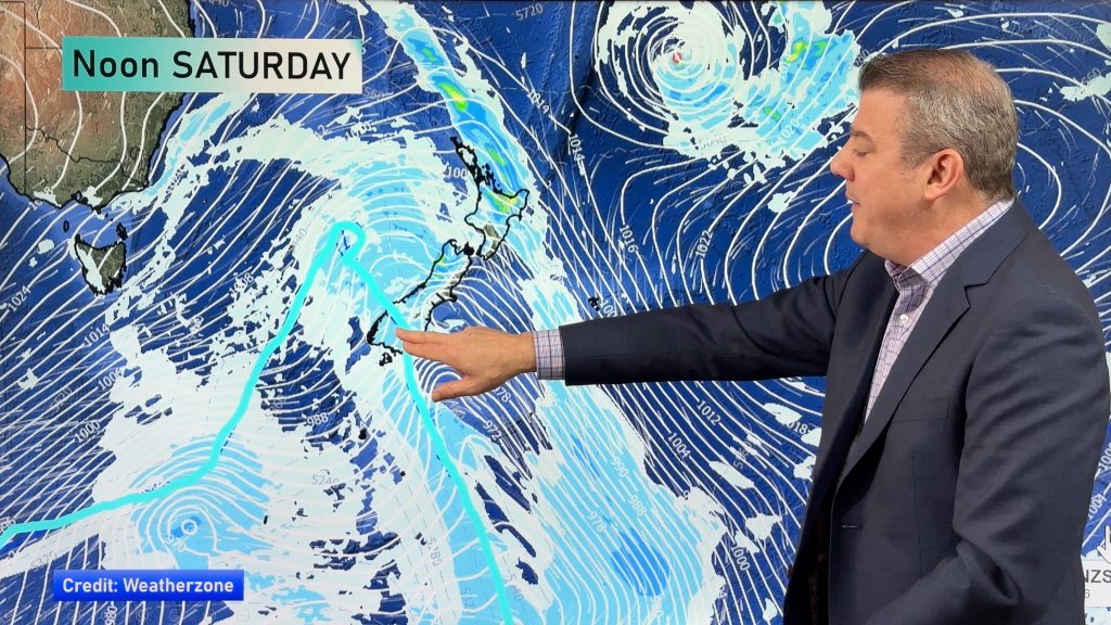
An anticyclone lies over the country today bringing mainly settled weather, a southeasterly airflow moving around the high may bring a few showers to the eastern North Island however.
Northland, Auckland, Waikato & Bay Of Plenty
A mix of sun and cloud, Northland could see an isolated shower or two. Light southeasterly winds.
Highs: 23-25
Western North Island (including Central North Island)
Sunny, southeasterly winds.
Highs: 18-24
Eastern North Island
Morning cloud then afternoon sunny spells for Wairarapa. Hawkes Bay and Gisborne sees some rain or showers with southerly winds.
Highs: 18-20
Wellington
Sunny, southeasterly winds.
Highs: 18-21
Marlborough & Nelson
Sunny, any early cloud about Nelson breaks away. Light winds tend easterly in the afternoon for Marlborough, afternoon northerlies for Nelson.
Highs: 18-20
Canterbury
Sunny, east to northeasterly winds freshen in the afternoon across the Plains.
Highs: 19-24
West Coast
Mainly sunny then some cloud developing south of Greymouth from afternoon, some drizzle about Fiordland from afternoon. Light winds, tending northerly about South Westland.
Highs: 19-24
Southland & Otago
Sunny, light winds tend onshore in the afternoon.
Highs: 19-26


Comments
Before you add a new comment, take note this story was published on 12 Mar 2021.


Add new comment