Saturday’s national forecast – Northeast airflow (+10 maps)
22/10/2021 3:00pm

> From the WeatherWatch archives
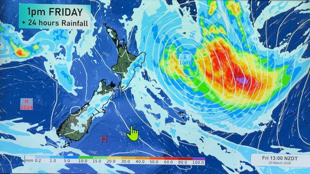
A northeasterly airflow lies over New Zealand today, flowing between a large high out to the east and a couple of low pressure systems in the Tasman Sea.
Please refer to your local, hourly, 10 day forecast for more details.
Northland, Auckland, Waikato & Bay Of Plenty
Mostly cloudy, showers for Northland spread into Auckland this morning, Waikato by evening and Bay Of Plenty overnight. Rain for eastern Northland spreads to Auckland in the evening. Breezy to brisk northeasterlies.
Highs: 15-18
Western North Island (including Central North Island)
Sunny areas and some high cloud, showers develop late afternoon for Taranaki turning to rain in the evening, showers spread elsewhere overnight. Northeasterlies.
Highs: 17-20
Eastern North Island
Sunny areas and some high cloud, some morning lower level cloud especially for Gisborne then breaking away. East to northeasterly winds.
Highs: 16-18
Wellington
High cloud and some sun, overnight spits or showers. Northeasterly winds.
Highs: 16-20
Marlborough & Nelson
High cloud, thickening and lowering later in the day. Overnight spits or showers for Nelson. Light winds tend northeast in the afternoon.
Highs: 16-19
Canterbury
High cloud and some sun, any early fog burns away mainly inland. East to northeasterly winds a little breezy after midday across the plains. A warm afternoon inland.
Highs: 15-21
West Coast
Sunny areas and some high cloud, a few late evening or overnight showers. North to northeasterly winds.
Highs: 17-21
Southland & Otago
High cloud and some sun, any morning fog burns away. Light winds tend southeasterly in the afternoon, northeasterlies freshen after midday for coastal Otago.
Highs: 16-22
WeatherWatch.co.nz is proud to be setting the international standard for forecasting in NZ – powered by IBM


Comments
Before you add a new comment, take note this story was published on 22 Oct 2021.


Add new comment