> From the WeatherWatch archives
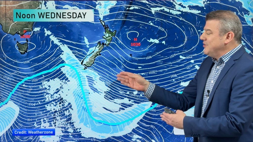
A slack pressure gradient lies over the South Island today with not a lot going on, northwesterlies lie over the North Island with a front pushing into Northland from the west this afternoon.
Northland, Auckland, Waikato & Bay Of Plenty
A mix of sun and cloud, risk of a shower, mainly out west. Showers more likely from afternoon about Northland then moving into Auckland in the evening. West to northwesterly winds.
Highs: 15-18
Western North Island (including Central North Island)
The odd shower, mainly morning with sunny areas increasing from afternoon. West to northwesterly winds.
Highs: 13-16
Eastern North Island
Sunny, northwesterlies ease from afternoon.
Highs: 16-19
Wellington
Mostly sunny, northwesterly winds gradually ease.
High: 14
Marlborough & Nelson
Early cloud then mostly sunny, northwest winds for Marlborough in the morning, light southwesterlies for Nelson. Winds tend north to northeast in the afternoon.
Highs: 16-18
Canterbury
Morning low cloud or fog breaks to mostly sunny weather, cloud thickens up again in the evening with a few showers or drizzle patches south of Banks Peninsula. Afternoon east to northeasterly winds.
Highs: 11-13
West Coast
Mostly cloudy with patchy rain or drizzle, clearing during the afternoon. Light westerlies.
Highs: 12-14
Southland & Otago
Partly cloudy, perhaps some fog morning and night. Brief sun possible during the afternoon. May be a light shower or drizzle patch about also otherwise mainly dry. A real mixed bag. Light winds tend south to southeast in the afternoon.
Highs: 12-15
By Weather Analyst Aaron Wilkinson – WeatherWatch.co.nz
Comments
Before you add a new comment, take note this story was published on 21 Aug 2020.


Add new comment