> From the WeatherWatch archives
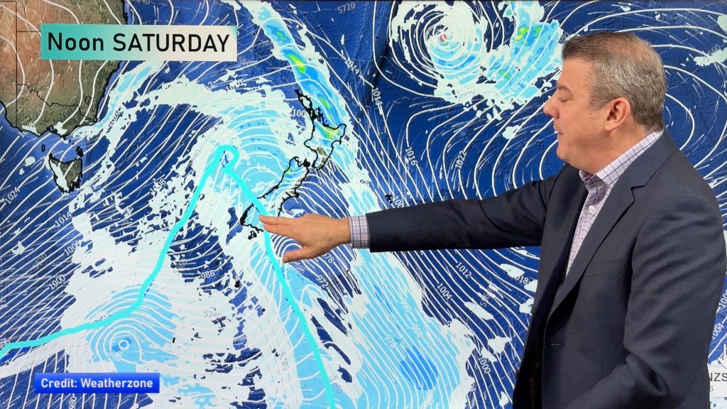
A southwest change pushes northwards over the South Island today then moving onto the North Island this evening / overnight.
Northland, Auckland, Waikato & Bay Of Plenty
Partly cloudy, a shower or two at times. The Bay Of Plenty stays mainly dry and mostly sunny. Southwesterly winds.
Highs: 16-17
Western North Island (including Central North Island)
Some cloud, risk of a shower, westerly winds. Evening rain develops with a southerly change then easing overnight. Snow flurries lower to 700 / 600m overnight before easing.
Highs: 12-16
Eastern North Island
Mostly sunny, evening southwesterlies move into Wairarapa bringing rain, pushing into Hawkes Bay overnight. Some snow lowers to 600 about the ranges of Wairarapa
Highs: 16-18
Wellington
Sunny areas and increasing cloud, rain late afternoon / evening as northwesterly winds change southerly. Snow lowers to 600m overnight.
High: 14
Marlborough & Nelson
Mostly sunny, late afternoon rain with a southerly change. Rain clears at night. Snow lowers to 500 or maybe 400m before clearing.
Highs: 14-15
Canterbury
Sunny at first then rain spreads northwards late morning as a southwest change moves through. Snow lowers to 400 or possibly 300m before clearing. Rain clears at night.
Highs: 8-10
West Coast
Morning rain clears South Westland, showers turn to rain further north in the morning then clearing in the evening. Southwesterly winds pick up then ease later in the day.
Highs: 10-12
Southland & Otago
Morning rain and snow to 300m eases then clears, southwest winds tend northwest in the afternoon. A shower or two could linger about some coastal areas otherwise expect afternoon sunny areas.
Highs: 6-8
By Weather Analyst Aaron Wilkinson – WeatherWatch.co.nz
Comments
Before you add a new comment, take note this story was published on 5 Jun 2020.


Add new comment