> From the WeatherWatch archives
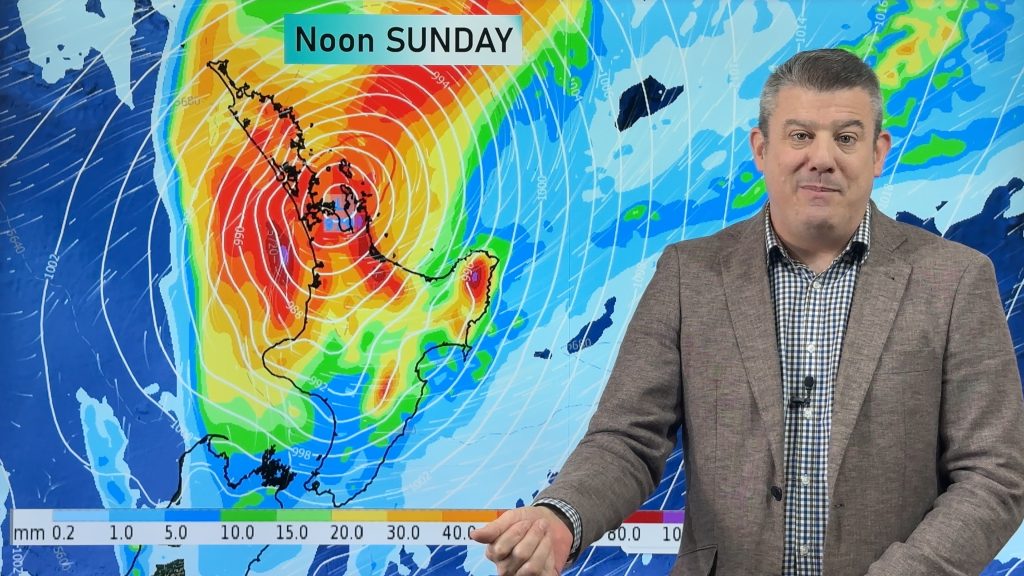
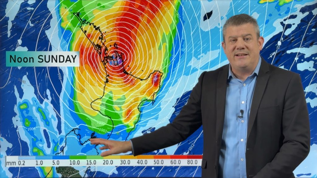
A weakening front moves onto the lower South Island today meanwhile a low pushes onto the North Island from the west.
Northland, Auckland, Waikato & Bay Of Plenty
Sunny areas and thickening cloud with some rain from afternoon, easing overnight. Rain may be heavy about the Waikato for a time. Northerly winds.
Highs: 19-22
Western North Island (including Central North Island)
Cloud thickening up in the morning then rain moves in around midday, clearing at night. About northern Taranaki, northern Manawatu and about the Central North Island, rain may be heavy for a time. North to northwesterly winds.
Highs: 16-18
Eastern North Island
Sunny areas and thickening high cloud, some rain from mid to late afternoon then clearing overnight. Light northerlies.
Highs: 17-24
Wellington
Mostly cloudy, a few showers from afternoon. Breezy north to northwesterly winds.
High: 15
Marlborough & Nelson
Some high cloud, may be a spot of rain in the afternoon. Northwesterly winds.
Highs: 18-19
Canterbury
Morning cloud then becoming mostly sunny, northeasterly winds.
Highs: 17-19
West Coast
Cloudy areas and the risk of a shower or two, more so in the morning. Some rain moves into Fiordland by midday.
Highs: 14-16
Southland & Otago
Sunny spells, a few isolated showers develop in the afternoon. Winds from the north or northwest, perhaps tending southwest after midday.
Highs: 13-18
By Weather Analyst Aaron Wilkinson – WeatherWatch.co.nz
Comments
Before you add a new comment, take note this story was published on 26 Oct 2018.


Add new comment