> From the WeatherWatch archives
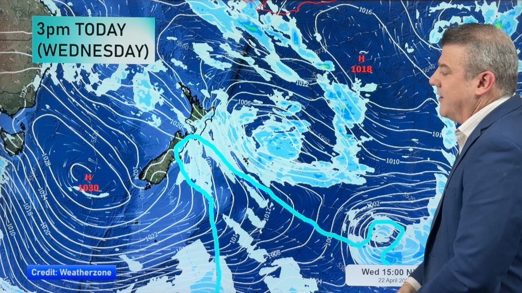
A ridge lies over the North Island today while a northerly airflow lies over the South Island.
Northland, Auckland, Waikato & Bay Of Plenty
Any morning lower level cloud breaks away although expect plenty of high cloud during the day, some sun may show through at times. Mostly cloudy for Northland with the chance of a shower or drizzle patch developing in the morning from the north, still many dry areas. Auckland may see a light shower later in the evening / overnight. Light northeasterly winds.
Highs: 22-24
Western North Island (including Central North Island)
Plenty of high cloud, areas of lower level cloud morning and night with a few sunny areas by day. West to northwesterly winds, northerlies about Taranaki.
Highs: 21-22
Eastern North Island
Mostly sunny with some high cloud, light winds tend east to northeast in the afternoon near the coast about Hawkes Bay. Light northwesterlies elsewhere.
Highs: 23-26
Wellington
Mostly cloudy with breezy north to northwesterly winds.
High: 18
Marlborough & Nelson
Plenty of high cloud with some sun at times, light winds tend north to northwest in the afternoon.
Highs: 21-24
Canterbury
Plenty of high cloud, some sun possible at times. Light winds tend east to northeast near the coast in the afternoon.
Highs: 23-25
West Coast
Plenty of high cloud, South Westland sees a few showers now and then with cloudier skies. North to northeasterly winds.
Highs: 19-21
Southland & Otago
Thick high cloud with the odd spit of rain, longer dry areas about Otago. North to northeasterly winds.
Highs: 20-21
By Weather Analyst Aaron Wilkinson – WeatherWatch.co.nz
Comments
Before you add a new comment, take note this story was published on 31 Mar 2017.


Add new comment