> From the WeatherWatch archives
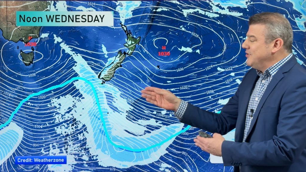
A high still covers most of New Zealand today, a northwesterly airflow increases over the lower South Island however as a front lies to the southwest of New Zealand.
Northland, Auckland, Waikato & Bay Of Plenty
Fairly cloudy with some sun breaking through in the afternoon. Southwesterly winds tend easterly during the afternoon.
Highs: 21-22
Western North Island (including Central North Island)
Morning cloud breaks to mostly sunny weather, southeasterly winds.
Highs: 19-21
Eastern North Island
Mainly cloudy with southeasterly winds, the odd light drizzle patch possible mainly afternoon.
Highs: 18-19
Wellington
Morning cloud breaks to sunny areas, south to southeasterly winds.
High: 16
Marlborough & Nelson
Some morning cloud about Marlborough then breaking to mainly sunny weather, light winds tend easterly in the afternoon. Sunny all day for Nelson with light winds.
Highs: 16-17
Canterbury
Morning cloud breaks to sunny areas, east to northeasterly winds.
Highs: 15-16
West Coast
Sunny areas, cloud thickens about South Westland from afternoon and showers move into Fiordland. Cloud thickens further north in the evening with the chance of a light shower possible. North to northwesterly winds.
Highs: 17-18
Southland & Otago
Sunny areas and thickening high cloud, a few spots of evening rain possible. Northerly winds, tending northeasterly about the Otago coast.
Highs: 16-18
By Weather Analyst Aaron Wilkinson – WeatherWatch.co.nz
Comments
Before you add a new comment, take note this story was published on 29 Apr 2016.


Add new comment