> From the WeatherWatch archives
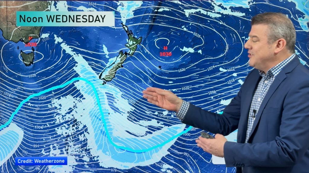
A front works its way north over the country today with a cool southwest change following in behind, mostly this will result in a drop in temperatures versus large amounts of precipitation. The region that will get the most rain is the West Coast of the South Island this morning before the front moves through in the afternoon.
Northland
Sunny spells with west to northwest winds.
Highs: 16-17
Auckland
Periods of cloud with a few sunny spells about, west to northwest winds
becoming breezy from midday. Late evening or overnight showers.
becoming breezy from midday. Late evening or overnight showers.
High: 17
Bay Of Plenty
Sunny spells and cloud increasing afternoon, northwesterly winds. A few
showers possible later in the evening.
showers possible later in the evening.
High: 16
Waikato & Central North Island
Periods of cloud, thickening from midday with northwesterly winds. Showers
move in mid to late afternoon.
move in mid to late afternoon.
Highs: 12-15
Eastern North Island
Sunny areas and increasing high cloud, light winds with northwesterly winds
developing in the afternoon. Winds change southwest around midnight with a few
showers possible.
developing in the afternoon. Winds change southwest around midnight with a few
showers possible.
Highs: 16-18
Western North Island
Mostly cloudy with increasing northwesterlies, brisk from midday. Areas of
rain from mid to late afternoon. Winds change southwest overnight.
rain from mid to late afternoon. Winds change southwest overnight.
Highs: 15-16
Wellington
Cloudy with strong northwesterlies, areas of rain develop late afternoon
then ease to showrs in the evening as winds change southerly.
then ease to showrs in the evening as winds change southerly.
High: 14
Nelson
Cloudy with increasing northwesterlies, a few showers developing towards
midday then clear mid afternoon. Cloud breaking later in the day with winds
tending southwest in the evening.
midday then clear mid afternoon. Cloud breaking later in the day with winds
tending southwest in the evening.
Highs: 13-14
Marlborough
High cloud with breezy northwesterlies, chance of a brief spit or two
mid/late afternoon then high cloud clearing away. Winds ease later in the
evening and tend lighter southerly.
mid/late afternoon then high cloud clearing away. Winds ease later in the
evening and tend lighter southerly.
Highs: 14-15
Canterbury
High cloud with breezy northwesterlies, chance of a brief shower around
early afternoon as winds change southwest. Sunny spells then increase with
southwesterlies easing overnight.
early afternoon as winds change southwest. Sunny spells then increase with
southwesterlies easing overnight.
Highs: 16-17
West Coast
Morning rain possibly heavy eases to showers in the afternoon as breezy
northwesterlies change southwest. Showers clear in the evening.
northwesterlies change southwest. Showers clear in the evening.
High: 13
Coastal Otago
Chance of a brief early shower, mainly south of the Peninsula then
clearing. Sunny spells for the rest of the day with strong southwesterlies
gusting to gale force on the coast then easing overnight.
clearing. Sunny spells for the rest of the day with strong southwesterlies
gusting to gale force on the coast then easing overnight.
Highs: 11-12
Central Otago
Early morning rain eases then clears by midday, sunny spells increase in
the afternoon. Southwesterly winds, easing in the evening.
the afternoon. Southwesterly winds, easing in the evening.
High: 9-10
Southland
Morning showers ease then clear by midday, cloudy periods with strong
westerlies, easing in the evening.
westerlies, easing in the evening.
High: 10
By Weather Analyst Aaron Wilkinson – WeatherWatch.co.nz
Comments
Before you add a new comment, take note this story was published on 20 Jun 2014.


Add new comment