Your Weekend forecast – Big downpours and thunder – but not everyone will get the rain they expect (+11 Maps)
1/01/2021 10:43pm

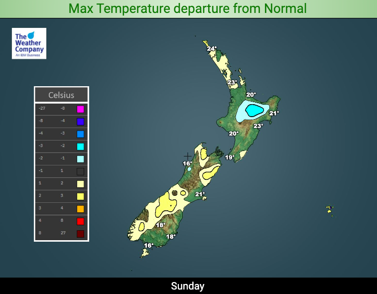
> From the WeatherWatch archives
Updated 11:43am Saturday — Today is a dynamic weather day across NZ with heavy rain in usually dry parts of the South Island (Otago and South Canterbury) and a widespread risk across the North Island for thunderstorms.
Thunderstorms by nature in NZ are usually hit and miss…while the risk is widespread not everyone is exposed.

Rain in the South Island will be more set in and for South Canterbury and Otago and there may be some risk of flooding with rainfall totals of 30 to 60mm possible in some locations today. For these areas – and on top of recent rain – this actually does bring some flood risk. Those camping or tramping near rivers should take extreme care today in Otago and South Canterbury.
A weak and large low pressure system over the country is the reason why we have this set up – and it’s slow moving so Sunday may be very similar, as might Monday.
Again, rainfall totals in the North Island may not be so high for everyone despite what is forecast – while other places may get more if a slow moving torrential downpour bubbles up over you. We point this out only to avoid false hope as some areas that desperately need rain may not get exactly what is forecast today or tomorrow. Slow moving downpours over an island with many large ranges can be extremely hard to pinpoint with 100% accuracy. The IBM Supercomputer we use is the most accurate rain forecaster in NZ, so while not perfect it’s the best guide we have. Often an understanding of the set up can help explain why some downpours arrive and others can just miss you.
Daytime heating inland will trigger much of these downpours, so most will ease at night tonight, with the risk peaking into Sunday PM again too.
Some downpours will be heavy enough in Auckland and Waikato that localised flash flooding is possible. Traffic may also be brought to a grind by some intense downpours – traffic is already incredibly heavy exiting Auckland today.
Keep an eye on your LOCAL HOURLY forecast – these are updated every single hour, along with the expected rainfall totals hourly for the next 10 days ahead.
Also, keep an eye on the MetService public rain radar which you can view here. Best time to view will be in the afternoon.


Latest Video

Cold fronts continue, wind & rain for some Fri/Sat
Wet weather is moving over the North Island today, while the South Island has drier skies – ahead of another…
Related Articles
Cold fronts continue, wind & rain for some Fri/Sat
Wet weather is moving over the North Island today, while the South Island has drier skies – ahead of another…

Cold fronts vs high pressure
A cold front is moving up NZ today and into Tuesday, but will fall apart as it heads north and…

Wintry change coming for SI and lower NI
Some wet weather, along with a drop in temperatures, will move into the lower South Island later on Sunday and…

