> From the WeatherWatch archives
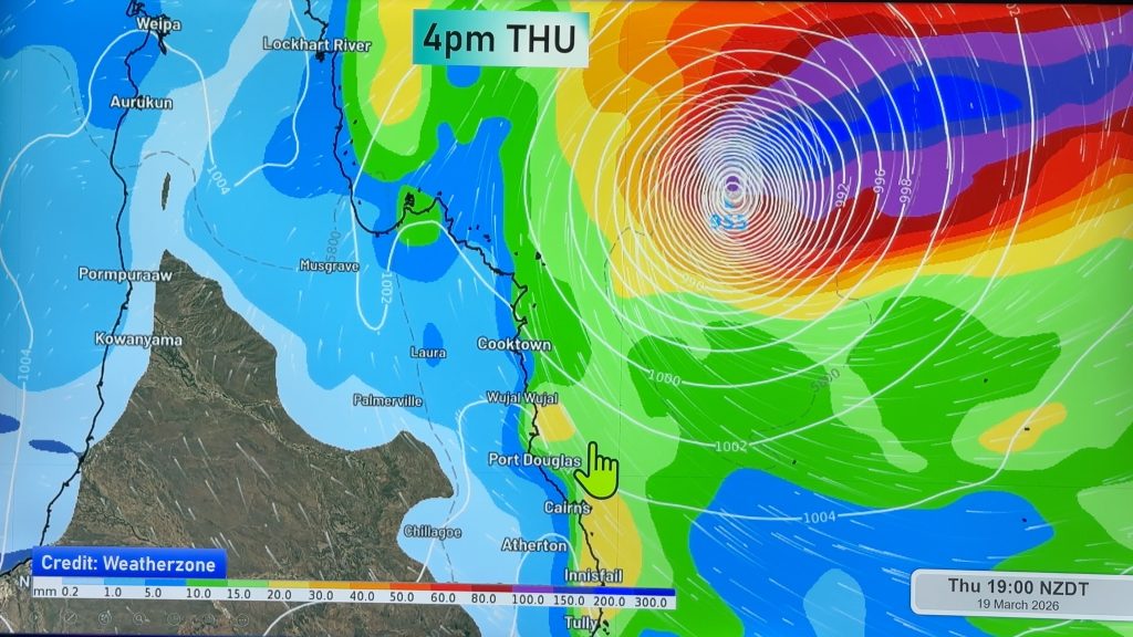
WeatherWatch.co.nz took this image this afternoon from Google Earth showing a rare sight for Kiwis -the eye of a severe cyclone only the length of New Zealand away from us (1400kms).
The cyclone is currently a Category 3 cyclone but in the coming 12 hours it is likely to become a Category 4 storm.
Despite its gaining strength the cyclone is expected to rapidly weaken before landfall here in New Zealand on Saturday (much like Zelia) – and no longer be a tropical cyclone.
The system does, however, pose a flooding and slips risk for vulnerable parts of the upper North Island, especially in the wake of the sub-tropical low at the weekend.
WeatherWatch.co.nz says it is incredibly rare to have such a strong cyclone so near to NZ – and for it to be still strengthening.
.jpg)
Comments
Before you add a new comment, take note this story was published on 26 Jan 2011.


Add new comment
Richard on 26/01/2011 9:16am
Any update on Anthony? From the Sat picture he seems to be fizzing out. Any chance of him coming down and joining forces with Wilma?
Reply
Waiheke on 26/01/2011 6:48am
Dan commented on the extra weird weather. History shows that floods, cyclones etc are part and parcel of living on a planet. One school of thought is that increased global temps create more extreme weather events. I don’t know though if anyone anticipated how many unusual or unprecendented events are being witnessed within short time frames. My belief is that the influence of spaceweather must be factored in. It is too pompous to believe that humanity and our little planet are separate or independent from the turbulent nature of the larger solar system.
Reply
View more comments