RainWatch – Unsettled and very cold, easing Wednesday
27/09/2020 6:00pm

> From the WeatherWatch archives
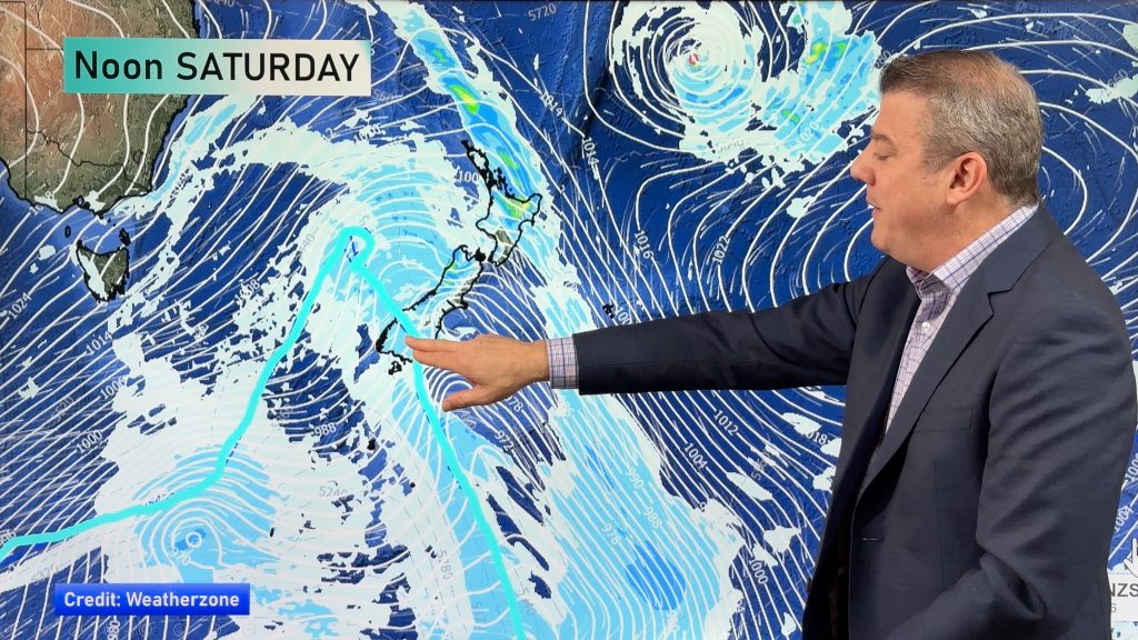
Wet weather for western regions today. Very cold southwesterlies spread northwards over the South Island bringing a period of rain or showers in the east. For further details on snow in your region check out today’s national forecast released at 4am this morning. Any morning showers about eastern Northland through to Bay Of Plenty clear then dry for the rest of the day. Morning showers about Wairarapa clear then returning in the evening.

Very cold southwesterlies cover the country on Tuesday, shower activity is mostly restricted to the coloured areas in the map below. Expect snow to near or at sea level for Southland and Otago. Fiordland / South Westland sees morning shower activity clear. Bay Of Plenty in the North Island has morning showers also that clear away. Mainly dry about Hawkes Bay and Gisborne although a shower or two may creep in from the south in the evening.

Wednesday sees dry conditions in the east, just a remaining shower or two about Buller and the western North Island clearing in the evening. Showers for Southland and the Catlins ease during the day, clearing evening.

For rainfall accumulation maps for 1, 2 and 3 days out please visit our new maps page: https://www.weatherwatch.co.nz/maps-radars/rain/accumulative-rainfall
By Weather Analyst Aaron Wilkinson – WeatherWatch.co.nz
Comments
Before you add a new comment, take note this story was published on 27 Sep 2020.


Add new comment