> From the WeatherWatch archives
Mostly anticyclonic for the North Island today however a weak area of low pressure stretches over the Island from afternoon coming in from further south. Expect a northwesterly airflow for the South Island.
North Island
Risk of a shower this morning about Northland and Auckland especially in the west then clearing. Isolated showers develop this afternoon for Bay Of Plenty across to East Cape, especially inland where some may become heavy with thunderstorms then easing later this evening.
Isolated showers may develop late afternoon / evening about some inland hills and ranges of the lower North Island then clearing later on.
South Island
Some rain pushes into Fiordland from afternoon gradually pushing northwards and the odd shower reaching North Westland this evening.
An isolated shower or two possible this afternoon / evening for Southland. There is also the risk of a shower or spot of rain late afternoon / evening about Otago and South Canterbury.

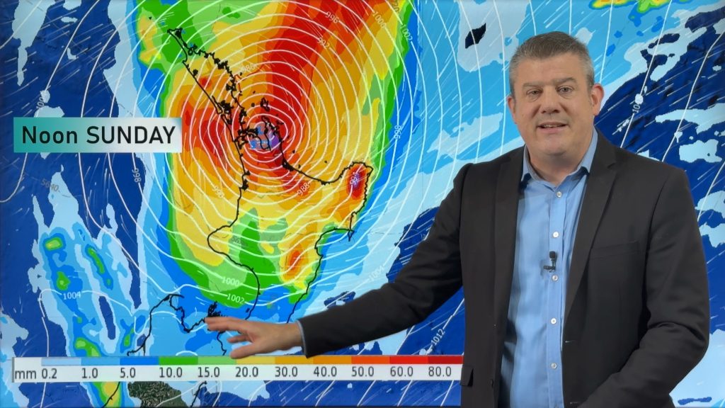
Image: Tuesday 1st January 2019 4:00pm MSLP / Rain map – weathermap.co.nz
WeatherWatch.co.nz
Comments
Before you add a new comment, take note this story was published on 31 Dec 2018.


Add new comment