> From the WeatherWatch archives
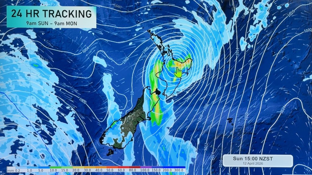
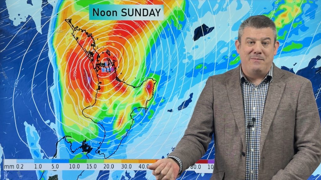
UPDATED 9:51am — A band of sub-tropical rain is slowly moving over the North Island but it is proving to be patchy with areas of drizzle, moderate rain and isolated heavy downpours.
Rain for the upper North Island today will have heavy falls at times but it’s looking more likely to be later today – and a big chunk of it may be out at sea around Northland.
Bay Of Plenty only sees the odd shower or drizzle patch however, some rain for a time this evening in the west. Rain for the lower North Island may see heavy falls, easing about Wellington this morning then elsewhere during the afternoon and evening. Northern Hawkes Bay and Gisborne stay mainly dry today.
Taranaki appears to be missing the worst of the rain for now, with the front patchier than expected. As of 9:50am the main band of rain was tracking just a little east of Mt Taranaki. That’s not to say heavy rain won’t set in on the mountain or parts of the region today, but just that at the moment it’s not looking so widespread there. One to keep an eye on.
For the upper South Island expect showers for North Westland, Nelson and Marlborough. Dry for most of Canterbury however isolated heavy showers may develop about South Canterbury this afternoon then easing this evening. A shower or two may move northwards reaching to about Banks Peninsula this evening.
For the lower South Island conditions are dry first thing this morning then showers moving in towards midday for parts of Southland then Otago this afternoon. Showers may become heavy then easing later this evening / overnight. South Westland sees coastal showers clearing this morning.

Image – Thursday 18th January 2018 4pm MSLP / Rain map – weathermap.co.nz
WeatherWatch.co.nz
Comments
Before you add a new comment, take note this story was published on 17 Jan 2018.


Add new comment