RainWatch – The same pattern continues for Friday
25/06/2020 4:11am

> From the WeatherWatch archives
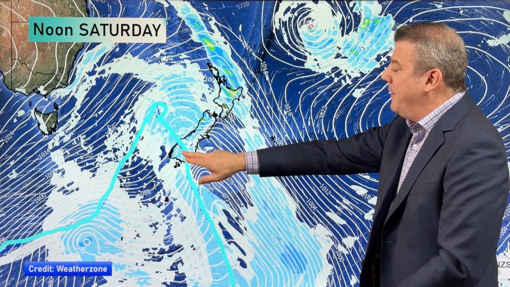
An easterly quarter airflow still lies over New Zealand on Friday, being pushed out of an anticyclone to the east and drawn into a low pressure system in the Tasman Sea. Expect the usual areas of rain for northern and eastern parts of both Islands. East Cape through to Hawkes Bay gets the bulk of the rain.
Central Otago, Southland and the West Coast experiences more sunny weather although Central Otago could see areas of fog or low cloud hang about some spots meaning a not so warm day.

A low pressure system continues to bring showers to parts of the North Island on Saturday, Coromandel and Bay Of Plenty sees some rain. Rain or showers for Nelson / Marlborough. A front moves into South Westland from morning bringing rain, spreading into North Westland overnight.

For rainfall accumulation maps for 1, 2 and 3 days out please visit our new maps page: https://www.weatherwatch.co.nz/maps-radars/rain/accumulative-rainfall
By Weather Analyst Aaron Wilkinson – WeatherWatch.co.nz
Comments
Before you add a new comment, take note this story was published on 25 Jun 2020.


Add new comment