RainWatch – The odd light shower turns to rain later today in the west
17/08/2020 7:00pm

> From the WeatherWatch archives
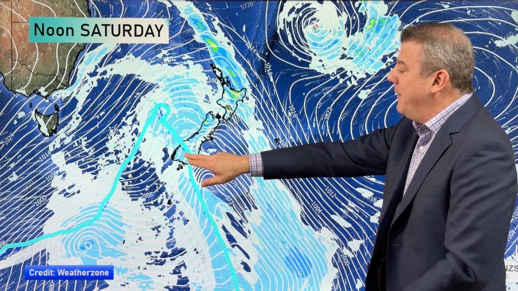
The odd light shower for some western regions today, rain moves into the West Coast of the South Island and Northland this evening / overnight. Eastern regions have a dry day. Check out today’s national forecast for a region by region outlook for your area.

A front passes from west to east over New Zealand tomorrow, rain about Nelson / Marlborough and the upper North Island may be heavy then easing later in the day / overnight. The east coast of the South Island stays mainly dry (apart from Marlborough) but the eastern North Island does see some rain which becomes heavy for a time in the evening, mainly about Hawkes Bay.

A fast moving from pushes in from the west on Thursday, dry to start about some western areas then rain or showers from afternoon including Nelson / Marlborough. A chance of heavy falls with thunder from afternoon about the western North Island then easing later in the day. The east coast of the North Island is dry then expect a few showers late afternoon / evening spreading from the west. A dry day for the east coast of the South Island although expect rain or showers about the Canterbury high country from late afternoon / evening.
On Friday expect showers in the west and dry weather out east in a northwesterly airflow. Showers for the West Coast north of the Glaciers and about the western North Island may be heavy at times with thunder then easing in the evening.

For rainfall accumulation maps for 1, 2 and 3 days out please visit our new maps page: https://www.weatherwatch.co.nz/maps-radars/rain/accumulative-rainfall
By Weather Analyst Aaron Wilkinson – WeatherWatch.co.nz
Comments
Before you add a new comment, take note this story was published on 17 Aug 2020.


Add new comment