The cold begins, risk of fog Friday morning for Northland / Auckland
17/06/2020 7:00pm

> From the WeatherWatch archives
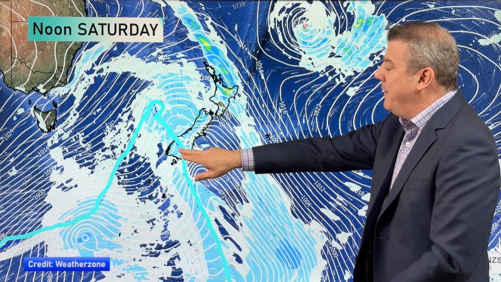
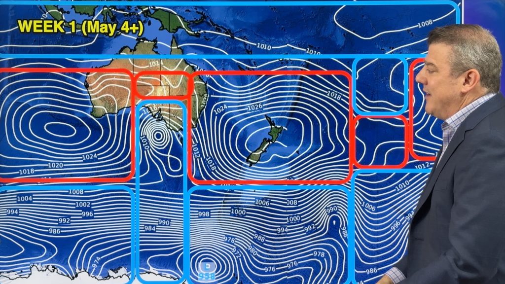
As you can see in today’s temperature map cold southerlies take grip over the South Island, the North Island stays average to above average temperature wise. Although… rain and southerly winds pushing through Wellington won’t make it feel like an average winters day that’s for sure.

Cold overnight tonight for the South Island, parts of Central Otago will likely dip a little below what the map is showing, perhaps -3 or -4 in areas. Northland and Auckland sees a clearance leading to a drop in overnight temperatures, watch for fog on Friday morning however as a result.

For Max & Min NZ Temperature maps for the next few days and nights ahead, please visit our new maps page: https://www.weatherwatch.co.nz/maps-radars/temperature/temperature
By Weather Analyst Aaron Wilkinson – WeatherWatch.co.nz
Comments
Before you add a new comment, take note this story was published on 17 Jun 2020.


Add new comment