> From the WeatherWatch archives
A light northwesterly airflow covers New Zealand today so this brings a big clue as to where any potential wet weather will be, mainly in the west while out east conditions are fairly dry.
For most western parts of the North Island today expect some sun and cloud, isolated showers at times in the mix also. Some areas may remain fairly dry for much of the day then this evening the chance of showers increases. These evening showers (mainly Auckland southwards) could be heavy in spots with the chance of a thunderstorm then easing overnight.
The east coast of the North Island has a dry and mainly sunny day, warm too. Later this evening or overnight a few spots of rain move in spreading from the west.
For the South Island’s West Coast expect a mix of showers and dry spells for much of today, later this evening / overnight some rain moves in with the chance of a few heavy falls. The east coast has a mainly dry day, any early spots of rain about Southland / Otago clear. Overnight scattered rain moves in spreading in from the west as a front passes over.
For further information on your specific area use the search function on our home page to look up your locality.

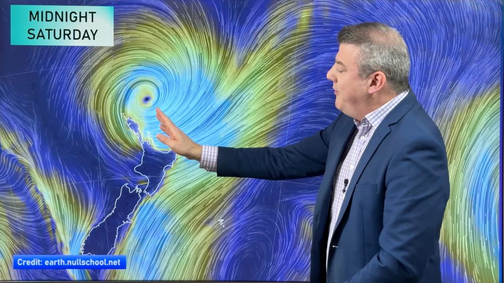
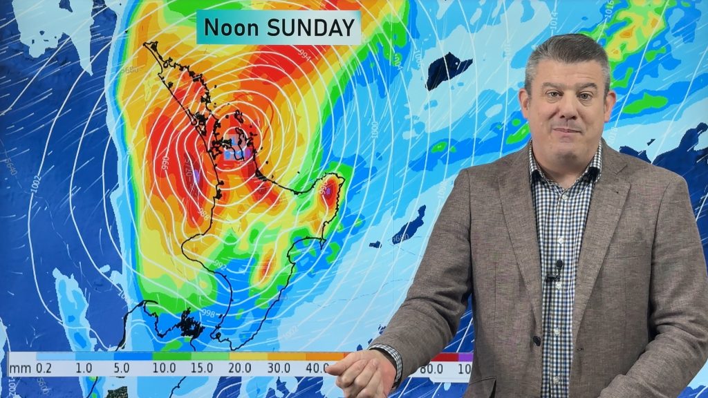
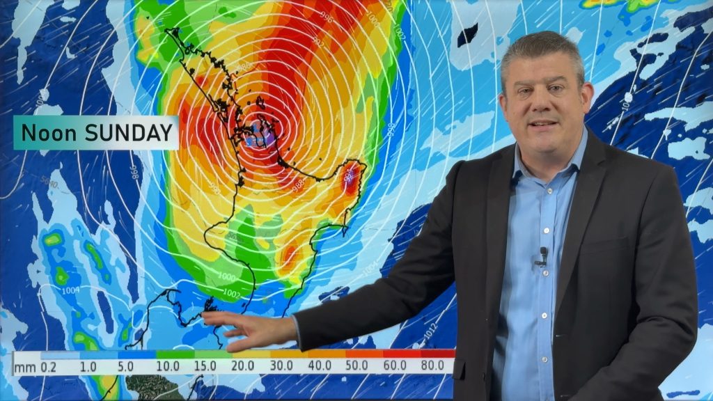
Image – Saturday 16th June 2018 9:00pm MSLP / Rain map – weathermap.co.nz
WeatherWatch.co.nz
Comments
Before you add a new comment, take note this story was published on 15 Jun 2018.


Add new comment