> From the WeatherWatch archives
A weakening front moves over the upper South Island then onto the lower North Island this morning, fairly settled otherwise with mainly anticyclonic conditions.
North Island
The odd shower for Taranaki through to Kapiti in the west, expect the odd shower especially afternoon then clearing in the evening. Wellington sees the odd shower develop this morning then clearing afternoon.
The odd shower moves into Wairarapa this morning, clearing evening. A shower or two may move into southern Hawkes Bay this afternoon then this evening a few light showers or drizzle patches spread into the rest of Hawkes Bay and Gisborne.
South Island
Risk of a shower this morning for North Westland then mainly dry, patchy showers for Fiordland for much of today. Morning showers clear Marlborough, any early showers clear Canterbury then mainly dry.
Chance of a shower near the Otago coast late afternoon / evening. Cloudy areas and a few showers for Southland, especially near the coast, dry spells increase from afternoon.

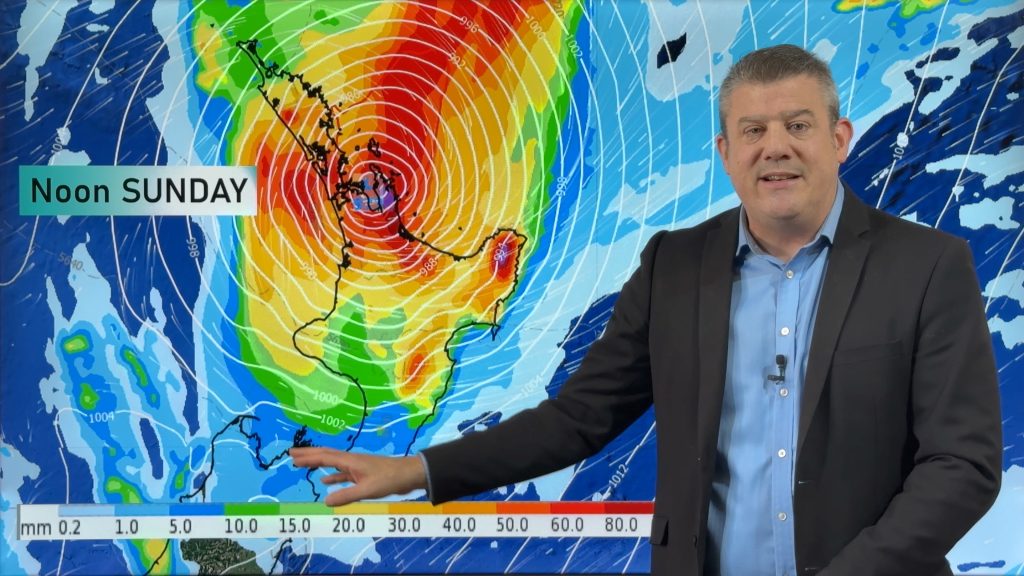
Image: Monday 7th January 2019 4:00pm MSLP / Rain map – weathermap.co.nz
WeatherWatch.co.nz
Comments
Before you add a new comment, take note this story was published on 6 Jan 2019.


Add new comment