RainWatch – Fairly average winter weather on the cards today
28/07/2020 7:00pm

> From the WeatherWatch archives
Nothing overly exciting happening through till the weekend, we are going to see plenty of thick high cloud in the coming days across the country. Areas of rain or showers mainly restricted to western areas, dry weather prevails in the east. Here’s a day by day break down below.
Mainly dry for most of New Zealand today however for the West Coast south of about Greymouth expect some rain, only the odd drizzle patch further north. Southland and Central Otago may see a spit of rain this morning then again in the evening.
Dry for most of the North Island on Thursday, only a light shower or two for northern Auckland and eastern Northland. The odd drizzle patch for the West Coast, rain about Fiordland.

Friday through to Sunday sees an area of low pressure in the Tasman Sea directing a few showers or drizzle at times into western parts of the country, expect a mainly dry weekend in the east.

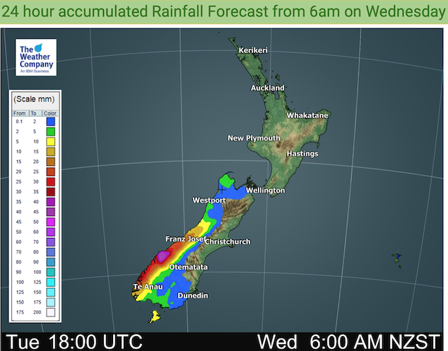
For rainfall accumulation maps for 1, 2 and 3 days out please visit our new maps page: https://www.weatherwatch.co.nz/maps-radars/rain/accumulative-rainfall
By Weather Analyst Aaron Wilkinson – WeatherWatch.co.nz
Latest Video

Antarctic southerly for parts of NZ Fri & Sat
For the first time this year a southerly from off Antarctica is heading towards the South Island, followed by more…
Related Articles
Antarctic southerly for parts of NZ Fri & Sat
For the first time this year a southerly from off Antarctica is heading towards the South Island, followed by more…

Meteors – Your Eyewitness Reports!
WeatherWatch.co.nz receives meteor reports from all over New Zealand and the globe, 24/7/365. **CASUAL COMMENTS**If you’ve seen something in the…

Snow, rain showers & cold polar southerlies set to return
Friday will be a wintry day across NZ as the next cold front arrives, bringing snow to lower levels of…

