RainWatch – Dry in the south, showers tease the north
15/05/2020 3:05am

> From the WeatherWatch archives
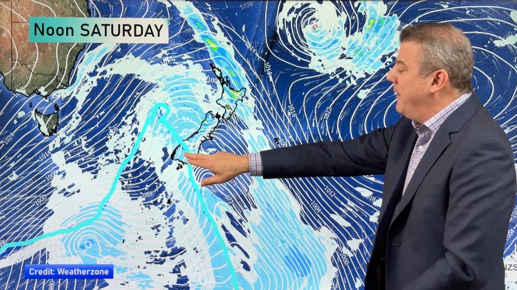
Certainly a dry day for the South Island on Saturday, an east to southeasterly airflow delivers some shower activity to eastern and northeastern coastal parts of the North Island. Western parts of the North Island are quite dry.

The map below shows the next 3 days totals, this includes today. Most of the shower activity for the South Island shown below is actually a few showers which faded away today for parts of the West Coast and across into South Canterbury. Early on Monday next week a front brings showers to Fiordland and a few may affect elsewhere about the lower South. The North Island’s shower activity is much the same for Sunday through to early Monday as it will be on Saturday.

For rainfall accumulation maps for 1, 2 and 3 days out please visit our new maps page: https://www.weatherwatch.co.nz/maps-radars/rain/accumulative-rainfall
By Weather Analyst Aaron Wilkinson – WeatherWatch.co.nz
Comments
Before you add a new comment, take note this story was published on 15 May 2020.


Add new comment